Pacho Nuevo geodata
Pacho Nuevo (Veracruz) is a populated place; located in Mexico in America/Mexico_City (GMT-6) time zone. With population of 2,673 people, there are 3309 cities with bigger population in this country. Compared to other cities in Mexico, 54.6% of cities are located further ↑North; 76.3% of cities are located further ←West and 55.8% of cities have higher elevation than Pacho Nuevo. Note1


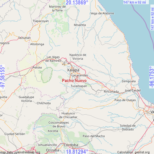
Pacho Nuevo GPS coordinates[2]
19° 28' 37.812" North, 96° 52' 42.312" West
| Map corner | latitude | longitude |
|---|---|---|
| Upper-left | 20.13869°, | -97.58155° |
| Center: | 19.47717°, | -96.87842° |
| Lower-right: | 18.81294°, | -96.1753° |
| Map W x H: | 147.4×147.4 km | = 91.6×91.6mi |
| max Lat: | 32.7° ⇑54.6% North |
| Pacho Nuevo: | 19.47717° |
| min Lat: | ⇓45.4% South 14.53588° |
| min Long | Pacho Nuevo | max Long |
| -117.105° | -96.87842° | -86.73105° |
| W 76.3%⇐ | ⇒23.7% E |
Elevation
Elevation of Pacho Nuevo is 1166 m = 3825 ft, and this is 87.7 m = 288 ft below average elevation for this country.
| Max E: |
3497 m = 11473 ft | 55.8% |
| Avg. | 1253.7 m = 4113 ft | |
| Pacho Nuevo | 1166 m = 3825 ft | |
Min E: |
-1 m = -3 ft | 44.2% |
See also: Mexico elevation on elevation.city.
Geographical zone
Pacho Nuevo is located in North Torrid zone (between Equator and Tropic of Cancer). Distance of this Northern Tropic circle is 440.3 km =273.6 mi to North.| Distance of | km | miles | from Pacho Nuevo |
|---|---|---|---|
| North Pole | 7841.4 | 4872.4 | to North |
| Arctic Circle | 5235.5 | 3253.2 | to North |
| Tropic Cancer | 440.3 | 273.6 | to North |
| Equator | 2165.7 | 1345.7 | to South |


Nearby cities:
15 places around Pacho Nuevo: (largest is in red/bold)
• Alborada
3.3 km =2.1 mi,  166°
166°
• Bella Esperanza
5 km =3.1 mi, 165°
• Colonia Santa Bárbara
2.8 km =1.7 mi,  0°
0°
• Colonia la Perseverancia
2.2 km =1.4 mi,  27°
27°
• El Chico
4.6 km =2.9 mi,  106°
106°
• El Grande
6.2 km =3.9 mi,  218°
218°
• El Lencero
6.7 km =4.2 mi,  78°
78°
• Estanzuela
2.8 km =1.7 mi,  130°
130°
• Fraccionamiento las Fuentes
2.3 km =1.4 mi,  338°
338°
• Jacarandas
3.4 km =2.1 mi,  52°
52°
• La Laguna
5.8 km =3.6 mi,  275°
275°
• Las Lomas
4.4 km =2.7 mi, 221°
• Las Trancas
3.4 km =2.1 mi, 25°
• Lomas Verdes
3.2 km =2 mi, 339°
• Pacho Viejo
4 km =2.5 mi, 278°
Sources, notices
• [Note1] Compared only with cities in Mexico existing in our database
• [Src1] Map data: © OpenStreetMap contributors (CC-BY-SA)
• [Src2] Other city data from geonames.org with taken over terms of usage.
• [Src3] Geographical zone / Annual Mean Temperature by Robert A. Rohde @ Wikipedia
