Dongu geodata
Dongu (State of Mexico) is a populated place; located in Mexico in America/Mexico_City (GMT-6) time zone. With population of 2,961 people, there are 3027 cities with bigger population in this country. Compared to other cities in Mexico, 53.8% of cities are located further ↓South; 58.3% of cities are located further →East and 96.5% of cities have lower elevation than Dongu. Note1


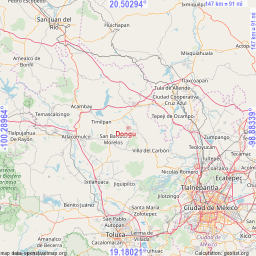
Dongu GPS coordinates[2]
19° 50' 34.62" North, 99° 35' 11.436" West
| Map corner | latitude | longitude |
|---|---|---|
| Upper-left | 20.50294°, | -100.28964° |
| Center: | 19.84295°, | -99.58651° |
| Lower-right: | 19.18021°, | -98.88339° |
| Map W x H: | 147.1×147.1 km | = 91.4×91.4mi |
| max Lat: | 32.7° ⇑46.2% North |
| Dongu: | 19.84295° |
| min Lat: | ⇓53.8% South 14.53588° |
| min Long | Dongu | max Long |
| -117.105° | -99.58651° | -86.73105° |
| W 41.7%⇐ | ⇒58.3% E |
Elevation
Elevation of Dongu is 2654 m = 8707 ft, and this is 1400.3 m = 4594 ft above average elevation for this country.
| Max E: |
3497 m = 11473 ft | 3.5% |
| Dongu | 2654 m 8707 ft | |
| Avg. | 1253.7 m = 4113 ft | |
Min E: |
-1 m = -3 ft | 96.5% |
See also: Mexico elevation on elevation.city.
Geographical zone
Dongu is located in North Torrid zone (between Equator and Tropic of Cancer). Distance of this Northern Tropic circle is 399.6 km =248.3 mi to North.| Distance of | km | miles | from Dongu |
|---|---|---|---|
| North Pole | 7800.7 | 4847.1 | to North |
| Arctic Circle | 5194.8 | 3227.9 | to North |
| Tropic Cancer | 399.6 | 248.3 | to North |
| Equator | 2206.3 | 1370.9 | to South |


Nearby cities:
15 places around Dongu: (largest is in red/bold)
• Barrio Tercero
10.2 km =6.3 mi,  230°
230°
• Cadenqui
5 km =3.1 mi,  193°
193°
• Chapa de Mota
7.1 km =4.4 mi,  116°
116°
• Denjhi
10.2 km =6.3 mi,  31°
31°
• Doxhicho
7 km =4.3 mi, 25°
• El Durazno de Cuauhtémoc
8 km =5 mi,  345°
345°
• El Puerto
8 km =5 mi,  300°
300°
• La Esperanza
3.9 km =2.4 mi,  104°
104°
• La Ladera
4.1 km =2.5 mi,  146°
146°
• San Felipe Coamango
2.8 km =1.7 mi,  310°
310°
• San Gabriel
8 km =5 mi, 309°
• San Gregorio Macapexco Barrio Segundo
9.5 km =5.9 mi,  208°
208°
• San Juan Tuxtepec
5.2 km =3.2 mi,  289°
289°
• Santa María
3.7 km =2.3 mi,  64°
64°
• Tenjay
5.3 km =3.3 mi,  137°
137°
Sources, notices
• [Note1] Compared only with cities in Mexico existing in our database
• [Src1] Map data: © OpenStreetMap contributors (CC-BY-SA)
• [Src2] Other city data from geonames.org with taken over terms of usage.
• [Src3] Geographical zone / Annual Mean Temperature by Robert A. Rohde @ Wikipedia
