El Charquito geodata
El Charquito (San Luis Potosí) is a populated place; located in Mexico in America/Mexico_City (GMT-6) time zone. With population of 567 people, there are 15067 cities with bigger population in this country. Compared to other cities in Mexico, 87.1% of cities are located further ↓South; 71% of cities are located further →East and 53.5% of cities have lower elevation than El Charquito. Note1


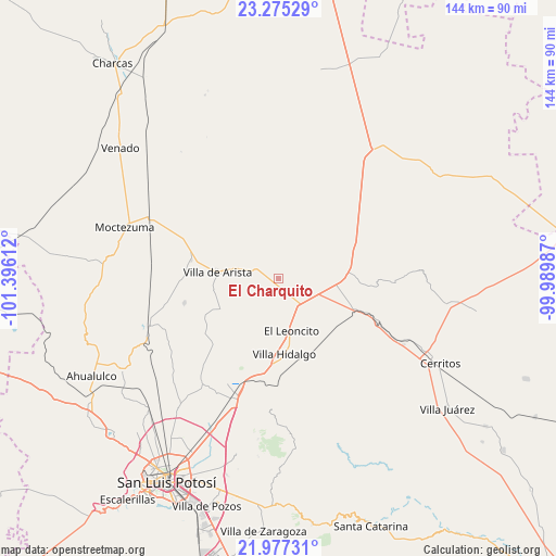
El Charquito GPS coordinates[2]
22° 37' 40.188" North, 100° 41' 34.764" West
| Map corner | latitude | longitude |
|---|---|---|
| Upper-left | 23.27529°, | -101.39612° |
| Center: | 22.62783°, | -100.69299° |
| Lower-right: | 21.97731°, | -99.98987° |
| Map W x H: | 144.3×144.3 km | = 89.7×89.7mi |
| max Lat: | 32.7° ⇑12.9% North |
| El Charquito: | 22.62783° |
| min Lat: | ⇓87.1% South 14.53588° |
| min Long | El Charquito | max Long |
| -117.105° | -100.69299° | -86.73105° |
| W 29%⇐ | ⇒71% E |
Elevation
Elevation of El Charquito is 1550 m = 5085 ft, and this is 296.3 m = 972 ft above average elevation for this country.
| Max E: |
3497 m = 11473 ft | 46.5% |
| El Charquito | 1550 m 5085 ft | |
| Avg. | 1253.7 m = 4113 ft | |
Min E: |
-1 m = -3 ft | 53.5% |
See also: Mexico elevation on elevation.city.
Geographical zone
El Charquito is located in North Torrid zone (between Equator and Tropic of Cancer). Distance of this Northern Tropic circle is 89.9 km =55.9 mi to North.| Distance of | km | miles | from El Charquito |
|---|---|---|---|
| North Pole | 7491.1 | 4654.8 | to North |
| Arctic Circle | 4885.2 | 3035.5 | to North |
| Tropic Cancer | 89.9 | 55.9 | to North |
| Equator | 2516 | 1563.4 | to South |


Nearby cities:
15 places around El Charquito: (largest is in red/bold)
• Charco Blanco
17.7 km =11 mi,  88°
88°
• Corcovado
25.9 km =16.1 mi,  180°
180°
• Derramaderos
25.4 km =15.8 mi,  255°
255°
• González
24.6 km =15.3 mi,  270°
270°
• La Redonda
21.1 km =13.1 mi,  168°
168°
• La Tapona
18.5 km =11.5 mi,  15°
15°
• Núñez
20.4 km =12.7 mi,  70°
70°
• Peotillos
17.1 km =10.6 mi,  150°
150°
• Peyote
9.5 km =5.9 mi, 71°
• Salitrillo
4.3 km =2.7 mi,  303°
303°
• San José del Arbolito
16.6 km =10.3 mi,  290°
290°
• San Lorenzo
9 km =5.6 mi, 148°
• Veinte de Noviembre
24.5 km =15.2 mi, 165°
• Villa Hidalgo
19.8 km =12.3 mi, 175°
• Villa de Arista
16 km =9.9 mi,  275°
275°
Sources, notices
• [Note1] Compared only with cities in Mexico existing in our database
• [Src1] Map data: © OpenStreetMap contributors (CC-BY-SA)
• [Src2] Other city data from geonames.org with taken over terms of usage.
• [Src3] Geographical zone / Annual Mean Temperature by Robert A. Rohde @ Wikipedia
