La Redonda geodata
La Redonda (San Luis Potosí) is a populated place; located in Mexico in America/Mexico_City (GMT-6) time zone. With population of 540 people, there are 15727 cities with bigger population in this country. Compared to other cities in Mexico, 86.5% of cities are located further ↓South; 70.8% of cities are located further →East and 55.7% of cities have lower elevation than La Redonda. Note1


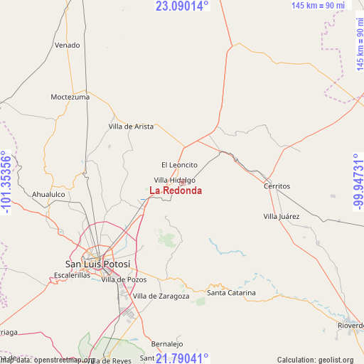
La Redonda GPS coordinates[2]
22° 26' 30.48" North, 100° 39' 1.548" West
| Map corner | latitude | longitude |
|---|---|---|
| Upper-left | 23.09014°, | -101.35356° |
| Center: | 22.4418°, | -100.65043° |
| Lower-right: | 21.79041°, | -99.94731° |
| Map W x H: | 144.5×144.5 km | = 89.8×89.8mi |
| max Lat: | 32.7° ⇑13.5% North |
| La Redonda: | 22.4418° |
| min Lat: | ⇓86.5% South 14.53588° |
| min Long | La Redonda | max Long |
| -117.105° | -100.65043° | -86.73105° |
| W 29.2%⇐ | ⇒70.8% E |
Elevation
Elevation of La Redonda is 1609 m = 5279 ft, and this is 355.3 m = 1166 ft above average elevation for this country.
| Max E: |
3497 m = 11473 ft | 44.3% |
| La Redonda | 1609 m 5279 ft | |
| Avg. | 1253.7 m = 4113 ft | |
Min E: |
-1 m = -3 ft | 55.7% |
See also: Mexico elevation on elevation.city.
Geographical zone
La Redonda is located in North Torrid zone (between Equator and Tropic of Cancer). Distance of this Northern Tropic circle is 110.6 km =68.7 mi to North.| Distance of | km | miles | from La Redonda |
|---|---|---|---|
| North Pole | 7511.8 | 4667.6 | to North |
| Arctic Circle | 4905.9 | 3048.4 | to North |
| Tropic Cancer | 110.6 | 68.7 | to North |
| Equator | 2495.3 | 1550.5 | to South |


Nearby cities:
15 places around La Redonda: (largest is in red/bold)
• Armadillo de los Infante
21.9 km =13.6 mi,  181°
181°
• Corcovado
6.8 km =4.2 mi,  220°
220°
• El Charquito
21.1 km =13.1 mi,  348°
348°
• Estación Ventura
14 km =8.7 mi,  244°
244°
• Joya de Luna
23.5 km =14.6 mi,  91°
91°
• La Concordia
11.7 km =7.3 mi,  144°
144°
• Mantequilla
23.7 km =14.7 mi,  266°
266°
• Pedrera del Tanquito
12.3 km =7.6 mi, 242°
• Peotillos
7 km =4.3 mi,  34°
34°
• Peyote
24.2 km =15 mi,  11°
11°
• Salitrillo
24.4 km =15.2 mi,  341°
341°
• San Lorenzo
13.1 km =8.1 mi,  1°
1°
• San Nicolás Tolentino
23.7 km =14.7 mi,  154°
154°
• Veinte de Noviembre
3.4 km =2.1 mi, 151°
• Villa Hidalgo
3 km =1.9 mi,  288°
288°
Sources, notices
• [Note1] Compared only with cities in Mexico existing in our database
• [Src1] Map data: © OpenStreetMap contributors (CC-BY-SA)
• [Src2] Other city data from geonames.org with taken over terms of usage.
• [Src3] Geographical zone / Annual Mean Temperature by Robert A. Rohde @ Wikipedia
