Villa Madero geodata
Villa Madero (Michoacán) is a populated place; located in Mexico in America/Mexico_City (GMT-6) time zone. With population of 6,577 people, there are 1423 cities with bigger population in this country. Compared to other cities in Mexico, 56.5% of cities are located further ↑North; 75.5% of cities are located further →East and 81.9% of cities have lower elevation than Villa Madero. Note1


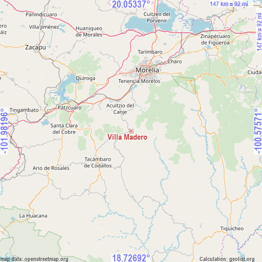
Villa Madero GPS coordinates[2]
19° 23' 29.4" North, 101° 16' 43.788" West
| Map corner | latitude | longitude |
|---|---|---|
| Upper-left | 20.05337°, | -101.98196° |
| Center: | 19.3915°, | -101.27883° |
| Lower-right: | 18.72692°, | -100.57571° |
| Map W x H: | 147.5×147.5 km | = 91.7×91.7mi |
| max Lat: | 32.7° ⇑56.5% North |
| Villa Madero: | 19.3915° |
| min Lat: | ⇓43.5% South 14.53588° |
| min Long | Villa Madero | max Long |
| -117.105° | -101.27883° | -86.73105° |
| W 24.5%⇐ | ⇒75.5% E |
Elevation
Elevation of Villa Madero is 2188 m = 7178 ft, and this is 934.3 m = 3065 ft above average elevation for this country.
| Max E: |
3497 m = 11473 ft | 18.1% |
| Villa Madero | 2188 m 7178 ft | |
| Avg. | 1253.7 m = 4113 ft | |
Min E: |
-1 m = -3 ft | 81.9% |
See also: Mexico elevation on elevation.city.
Geographical zone
Villa Madero is located in North Torrid zone (between Equator and Tropic of Cancer). Distance of this Northern Tropic circle is 449.8 km =279.5 mi to North.| Distance of | km | miles | from Villa Madero |
|---|---|---|---|
| North Pole | 7850.9 | 4878.3 | to North |
| Arctic Circle | 5245 | 3259.1 | to North |
| Tropic Cancer | 449.8 | 279.5 | to North |
| Equator | 2156.1 | 1339.7 | to South |


Nearby cities:
15 places around Villa Madero: (largest is in red/bold)
• Acuítzio del Canje
12.9 km =8 mi,  333°
333°
• Chihuerio
15.9 km =9.9 mi,  310°
310°
• Cutzaro
8.5 km =5.3 mi,  317°
317°
• Cópitero
14.7 km =9.1 mi,  230°
230°
• Etúcuaro
7.3 km =4.5 mi,  64°
64°
• La Estancia
22.1 km =13.7 mi,  352°
352°
• Las Tablas
20.9 km =13 mi, 305°
• San Andrés Coapa
16.1 km =10 mi, 317°
• San José Coapa
21.6 km =13.4 mi, 328°
• San José de los Laureles
20 km =12.4 mi,  252°
252°
• San Juan de Viña
21.6 km =13.4 mi,  255°
255°
• San Rafael Coapa
17.4 km =10.8 mi, 329°
• Tirio
18.9 km =11.7 mi,  0°
0°
• Tirípetio
18.9 km =11.7 mi,  337°
337°
• Yoricostio (La Villita)
15 km =9.3 mi, 247°
Sources, notices
• [Note1] Compared only with cities in Mexico existing in our database
• [Src1] Map data: © OpenStreetMap contributors (CC-BY-SA)
• [Src2] Other city data from geonames.org with taken over terms of usage.
• [Src3] Geographical zone / Annual Mean Temperature by Robert A. Rohde @ Wikipedia
