Soyatlán del Oro geodata
Soyatlán del Oro (Jalisco) is a populated place; located in Mexico in America/Mexico_City (GMT-6) time zone. With population of 2,181 people, there are 4030 cities with bigger population in this country. Compared to other cities in Mexico, 63.5% of cities are located further ↓South; 90.6% of cities are located further →East and 55.4% of cities have lower elevation than Soyatlán del Oro. Note1


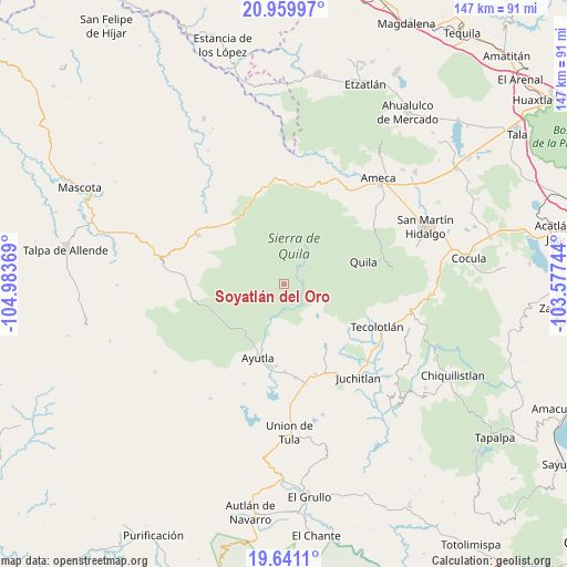
Soyatlán del Oro GPS coordinates[2]
20° 18' 6.984" North, 104° 16' 50.016" West
| Map corner | latitude | longitude |
|---|---|---|
| Upper-left | 20.95997°, | -104.98369° |
| Center: | 20.30194°, | -104.28056° |
| Lower-right: | 19.6411°, | -103.57744° |
| Map W x H: | 146.6×146.6 km | = 91.1×91.1mi |
| max Lat: | 32.7° ⇑36.5% North |
| Soyatlán del Oro: | 20.30194° |
| min Lat: | ⇓63.5% South 14.53588° |
| min Long | Soyatlán del O | max Long |
| -117.105° | -104.28056° | -86.73105° |
| W 9.4%⇐ | ⇒90.6% E |
Elevation
Elevation of Soyatlán del Oro is 1599 m = 5246 ft, and this is 345.3 m = 1133 ft above average elevation for this country.
| Max E: |
3497 m = 11473 ft | 44.6% |
| Soyatlán del Oro | 1599 m 5246 ft | |
| Avg. | 1253.7 m = 4113 ft | |
Min E: |
-1 m = -3 ft | 55.4% |
See also: Mexico elevation on elevation.city.
Geographical zone
Soyatlán del Oro is located in North Torrid zone (between Equator and Tropic of Cancer). Distance of this Northern Tropic circle is 348.6 km =216.6 mi to North.| Distance of | km | miles | from Soyatlán del Oro |
|---|---|---|---|
| North Pole | 7749.7 | 4815.4 | to North |
| Arctic Circle | 5143.8 | 3196.2 | to North |
| Tropic Cancer | 348.6 | 216.6 | to North |
| Equator | 2257.4 | 1402.7 | to South |


Nearby cities:
15 places around Soyatlán del Oro: (largest is in red/bold)
• Atengo
5.5 km =3.4 mi,  124°
124°
• Atenguillo
25.6 km =15.9 mi,  299°
299°
• Ayutla
20.3 km =12.6 mi,  198°
198°
• Cofradía de Duendes
29.8 km =18.5 mi,  104°
104°
• Colotitlán
26.5 km =16.5 mi,  149°
149°
• Cuautla
17.3 km =10.7 mi,  229°
229°
• El Salto
23.1 km =14.4 mi,  278°
278°
• Juanacatlán
12.6 km =7.8 mi,  167°
167°
• Los Volcanes
27.1 km =16.8 mi, 275°
• Mixtlán
20.3 km =12.6 mi,  318°
318°
• San Clemente
24.4 km =15.2 mi, 172°
• Tecolotlán
26.7 km =16.6 mi,  114°
114°
• Tenamaxtlán
15.3 km =9.5 mi,  127°
127°
• Tepantla
13.8 km =8.6 mi, 202°
• Texcalame
27.7 km =17.2 mi,  51°
51°
Sources, notices
• [Note1] Compared only with cities in Mexico existing in our database
• [Src1] Map data: © OpenStreetMap contributors (CC-BY-SA)
• [Src2] Other city data from geonames.org with taken over terms of usage.
• [Src3] Geographical zone / Annual Mean Temperature by Robert A. Rohde @ Wikipedia
