San Nicolás geodata
San Nicolás (Jalisco) is a populated place; located in Mexico in America/Mexico_City (GMT-6) time zone. With population of 773 people, there are 11306 cities with bigger population in this country. Compared to other cities in Mexico, 69.1% of cities are located further ↓South; 90.3% of cities are located further →East and 54.3% of cities have higher elevation than San Nicolás. Note1


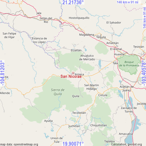
San Nicolás GPS coordinates[2]
20° 33' 37.62" North, 104° 6' 32.04" West
| Map corner | latitude | longitude |
|---|---|---|
| Upper-left | 21.21736°, | -104.81203° |
| Center: | 20.56045°, | -104.1089° |
| Lower-right: | 19.90071°, | -103.40578° |
| Map W x H: | 146.4×146.4 km | = 91×91mi |
| max Lat: | 32.7° ⇑30.9% North |
| San Nicolás: | 20.56045° |
| min Lat: | ⇓69.1% South 14.53588° |
| min Long | San Nicolás | max Long |
| -117.105° | -104.1089° | -86.73105° |
| W 9.7%⇐ | ⇒90.3% E |
Elevation
Elevation of San Nicolás is 1227 m = 4026 ft, and this is 26.7 m = 88 ft below average elevation for this country.
| Max E: |
3497 m = 11473 ft | 54.3% |
| Avg. | 1253.7 m = 4113 ft | |
| San Nicolás | 1227 m = 4026 ft | |
Min E: |
-1 m = -3 ft | 45.7% |
See also: Mexico elevation on elevation.city.
Geographical zone
San Nicolás is located in North Torrid zone (between Equator and Tropic of Cancer). Distance of this Northern Tropic circle is 319.8 km =198.7 mi to North.| Distance of | km | miles | from San Nicolás |
|---|---|---|---|
| North Pole | 7721 | 4797.6 | to North |
| Arctic Circle | 5115.1 | 3178.4 | to North |
| Tropic Cancer | 319.8 | 198.7 | to North |
| Equator | 2286.1 | 1420.5 | to South |


Nearby cities:
15 places around San Nicolás: (largest is in red/bold)
• Ahualulco de Mercado
21 km =13 mi,  41°
41°
• Ameca
6.8 km =4.2 mi,  103°
103°
• Buenos Aires
8.4 km =5.2 mi,  73°
73°
• El Cabezón
17.9 km =11.1 mi,  113°
113°
• El Portezuelo
7.8 km =4.8 mi,  56°
56°
• Ipazoltic
18.8 km =11.7 mi,  137°
137°
• Jayamitla
8 km =5 mi,  295°
295°
• La Villita
7.3 km =4.5 mi,  294°
294°
• Labor de Medina
20.9 km =13 mi,  116°
116°
• Labor de Solís
12.8 km =8 mi,  86°
86°
• Los Pocitos
18.1 km =11.2 mi, 98°
• Oconahua
21 km =13 mi,  343°
343°
• Portes Gil
20.8 km =12.9 mi, 58°
• Santa Cruz de Bárcenas
16.4 km =10.2 mi, 42°
• Texcalame
12.3 km =7.6 mi,  161°
161°
Sources, notices
• [Note1] Compared only with cities in Mexico existing in our database
• [Src1] Map data: © OpenStreetMap contributors (CC-BY-SA)
• [Src2] Other city data from geonames.org with taken over terms of usage.
• [Src3] Geographical zone / Annual Mean Temperature by Robert A. Rohde @ Wikipedia
