La Estancia geodata
La Estancia (Sonora) is a populated place; located in Mexico in America/Hermosillo (GMT-7) time zone. With population of 713 people, there are 12219 cities with bigger population in this country. Compared to other cities in Mexico, 98.4% of cities are located further ↓South; 98.3% of cities are located further →East and 66.6% of cities have higher elevation than La Estancia. Note1


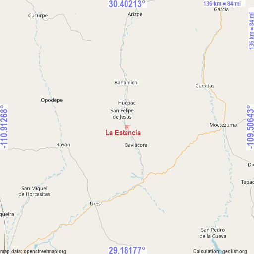
La Estancia GPS coordinates[2]
29° 47' 37.716" North, 110° 12' 34.38" West
| Map corner | latitude | longitude |
|---|---|---|
| Upper-left | 30.40213°, | -110.91268° |
| Center: | 29.79381°, | -110.20955° |
| Lower-right: | 29.18177°, | -109.50643° |
| Map W x H: | 135.7×135.7 km | = 84.3×84.3mi |
| max Lat: | 32.7° ⇑1.6% North |
| La Estancia: | 29.79381° |
| min Lat: | ⇓98.4% South 14.53588° |
| min Long | La Estancia | max Long |
| -117.105° | -110.20955° | -86.73105° |
| W 1.7%⇐ | ⇒98.3% E |
Elevation
Elevation of La Estancia is 606 m = 1988 ft, and this is 647.7 m = 2125 ft below average elevation for this country.
| Max E: |
3497 m = 11473 ft | 66.6% |
| Avg. | 1253.7 m = 4113 ft | |
| La Estancia | 606 m = 1988 ft | |
Min E: |
-1 m = -3 ft | 33.4% |
See also: Mexico elevation on elevation.city.
Geographical zone
La Estancia is located in North temperate zone (between Tropic of Cancer and the Arctic Circle). Distance of this Northern Tropic circle is 706.8 km =439.2 mi to South.| Distance of | km | miles | from La Estancia |
|---|---|---|---|
| North Pole | 6694.3 | 4159.6 | to North |
| Arctic Circle | 4088.4 | 2540.4 | to North |
| Tropic Cancer | 706.8 | 439.2 | to South |
| Equator | 3312.8 | 2058.5 | to South |


Nearby cities:
15 places around La Estancia: (largest is in red/bold)
• Aconchi
3.9 km =2.4 mi,  337°
337°
• Banámichi
23.8 km =14.8 mi,  358°
358°
• Baviácora
10 km =6.2 mi,  153°
153°
• Cumpas
47 km =29.2 mi,  61°
61°
• Guadalupe
51.1 km =31.8 mi,  206°
206°
• Huépac
13.1 km =8.1 mi, 358°
• Jécori
48.3 km =30 mi,  70°
70°
• Los Hoyos
55.2 km =34.3 mi,  48°
48°
• Moctezuma
51.2 km =31.8 mi,  88°
88°
• Ojo de Agua
48.5 km =30.1 mi, 56°
• Opodepe
43.1 km =26.8 mi,  289°
289°
• Rayón
35.7 km =22.2 mi,  255°
255°
• San Felipe de Jesús
8 km =5 mi, 339°
• San Miguel de Horcasitas
60.3 km =37.5 mi,  235°
235°
• Ures
44.3 km =27.5 mi,  202°
202°
Sources, notices
• [Note1] Compared only with cities in Mexico existing in our database
• [Src1] Map data: © OpenStreetMap contributors (CC-BY-SA)
• [Src2] Other city data from geonames.org with taken over terms of usage.
• [Src3] Geographical zone / Annual Mean Temperature by Robert A. Rohde @ Wikipedia
