El Carmen geodata
El Carmen (Jalisco) is a populated place; located in Mexico in America/Mexico_City (GMT-6) time zone. With population of 1,557 people, there are 5540 cities with bigger population in this country. Compared to other cities in Mexico, 71% of cities are located further ↓South; 89.7% of cities are located further →East and 53.3% of cities have higher elevation than El Carmen. Note1


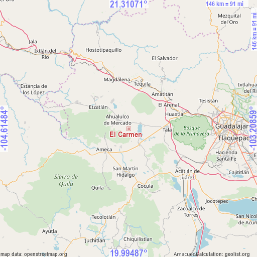
El Carmen GPS coordinates[2]
20° 39' 15.156" North, 103° 54' 42.156" West
| Map corner | latitude | longitude |
|---|---|---|
| Upper-left | 21.31071°, | -104.61484° |
| Center: | 20.65421°, | -103.91171° |
| Lower-right: | 19.99487°, | -103.20859° |
| Map W x H: | 146.3×146.3 km | = 90.9×90.9mi |
| max Lat: | 32.7° ⇑29% North |
| El Carmen: | 20.65421° |
| min Lat: | ⇓71% South 14.53588° |
| min Long | El Carmen | max Long |
| -117.105° | -103.91171° | -86.73105° |
| W 10.3%⇐ | ⇒89.7% E |
Elevation
Elevation of El Carmen is 1279 m = 4196 ft, and this is 25.3 m = 83 ft above average elevation for this country.
| Max E: |
3497 m = 11473 ft | 53.3% |
| El Carmen | 1279 m 4196 ft | |
| Avg. | 1253.7 m = 4113 ft | |
Min E: |
-1 m = -3 ft | 46.7% |
See also: Mexico elevation on elevation.city.
Geographical zone
El Carmen is located in North Torrid zone (between Equator and Tropic of Cancer). Distance of this Northern Tropic circle is 309.4 km =192.3 mi to North.| Distance of | km | miles | from El Carmen |
|---|---|---|---|
| North Pole | 7710.5 | 4791.1 | to North |
| Arctic Circle | 5104.6 | 3171.9 | to North |
| Tropic Cancer | 309.4 | 192.3 | to North |
| Equator | 2296.5 | 1427 | to South |


Nearby cities:
15 places around El Carmen: (largest is in red/bold)
• Ahualulco de Mercado
8.4 km =5.2 mi,  308°
308°
• Buenavista
11.4 km =7.1 mi,  146°
146°
• Buenos Aires
14.8 km =9.2 mi,  236°
236°
• Castro Urdiales
11.4 km =7.1 mi,  123°
123°
• El Amarillo
3.2 km =2 mi, 145°
• El Ranchito (San Isidro)
14.5 km =9 mi,  113°
113°
• La Estancita
12.9 km =8 mi,  315°
315°
• La Estanzuela
9.1 km =5.7 mi,  79°
79°
• La Vega
9.6 km =6 mi,  144°
144°
• Labor de Solís
12.3 km =7.6 mi,  219°
219°
• Los Pocitos
13.3 km =8.3 mi,  191°
191°
• Portes Gil
2.8 km =1.7 mi,  278°
278°
• Punta de la Vega
7.2 km =4.5 mi,  168°
168°
• Santa Cruz de Bárcenas
9.5 km =5.9 mi, 279°
• Teuchitlán
7.3 km =4.5 mi,  62°
62°
Sources, notices
• [Note1] Compared only with cities in Mexico existing in our database
• [Src1] Map data: © OpenStreetMap contributors (CC-BY-SA)
• [Src2] Other city data from geonames.org with taken over terms of usage.
• [Src3] Geographical zone / Annual Mean Temperature by Robert A. Rohde @ Wikipedia
