Apantla geodata
Apantla (Guerrero) is a populated place; located in Mexico in America/Mexico_City (GMT-6) time zone. With population of 1,027 people, there are 8485 cities with bigger population in this country. Compared to other cities in Mexico, 88.3% of cities are located further ↑North; 52.2% of cities are located further →East and 70.5% of cities have higher elevation than Apantla. Note1


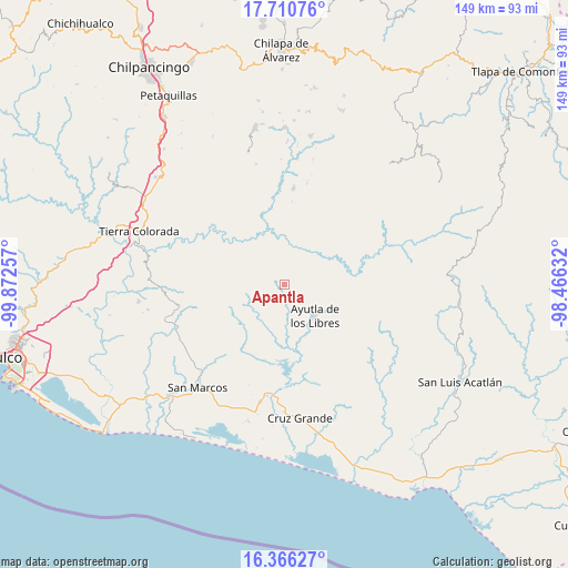
Apantla GPS coordinates[2]
17° 2' 22.992" North, 99° 10' 9.984" West
| Map corner | latitude | longitude |
|---|---|---|
| Upper-left | 17.71076°, | -99.87257° |
| Center: | 17.03972°, | -99.16944° |
| Lower-right: | 16.36627°, | -98.46632° |
| Map W x H: | 149.5×149.5 km | = 92.9×92.9mi |
| max Lat: | 32.7° ⇑88.3% North |
| Apantla: | 17.03972° |
| min Lat: | ⇓11.7% South 14.53588° |
| min Long | Apantla | max Long |
| -117.105° | -99.16944° | -86.73105° |
| W 47.8%⇐ | ⇒52.2% E |
Elevation
Elevation of Apantla is 392 m = 1286 ft, and this is 861.7 m = 2827 ft below average elevation for this country.
| Max E: |
3497 m = 11473 ft | 70.5% |
| Avg. | 1253.7 m = 4113 ft | |
| Apantla | 392 m = 1286 ft | |
Min E: |
-1 m = -3 ft | 29.5% |
See also: Mexico elevation on elevation.city.
Geographical zone
Apantla is located in North Torrid zone (between Equator and Tropic of Cancer). Distance of this Northern Tropic circle is 711.3 km =442 mi to North.| Distance of | km | miles | from Apantla |
|---|---|---|---|
| North Pole | 8112.4 | 5040.8 | to North |
| Arctic Circle | 5506.5 | 3421.6 | to North |
| Tropic Cancer | 711.3 | 442 | to North |
| Equator | 1894.6 | 1177.2 | to South |


Nearby cities:
15 places around Apantla: (largest is in red/bold)
• Acalmani
7.8 km =4.8 mi,  46°
46°
• Ayutla de los Libres
11.5 km =7.1 mi,  137°
137°
• Buenavista de Allende
6.4 km =4 mi,  227°
227°
• Colotepec
4.6 km =2.9 mi,  271°
271°
• Cruz Quemada
4.8 km =3 mi,  192°
192°
• El Charco
11.6 km =7.2 mi,  281°
281°
• El Cortijo
6 km =3.7 mi,  158°
158°
• El Refugio
3.3 km =2.1 mi, 267°
• Lagunillas
3.8 km =2.4 mi,  224°
224°
• Los Magueyitos
10.7 km =6.6 mi,  287°
287°
• Los Tepetates
8.5 km =5.3 mi, 284°
• Mecatepec
9.6 km =6 mi, 229°
• Plan de Gatica
11.3 km =7 mi,  27°
27°
• Tecoanapa
11.2 km =7 mi,  239°
239°
• Tecuantepec
9.4 km =5.8 mi, 242°
Sources, notices
• [Note1] Compared only with cities in Mexico existing in our database
• [Src1] Map data: © OpenStreetMap contributors (CC-BY-SA)
• [Src2] Other city data from geonames.org with taken over terms of usage.
• [Src3] Geographical zone / Annual Mean Temperature by Robert A. Rohde @ Wikipedia
