Sebastopol geodata
Sebastopol (Puebla) is a populated place; located in Mexico in America/Mexico_City (GMT-6) time zone. With population of 876 people, there are 9971 cities with bigger population in this country. Compared to other cities in Mexico, 52.2% of cities are located further ↓South; 63.4% of cities are located further ←West and 89.1% of cities have lower elevation than Sebastopol. Note1


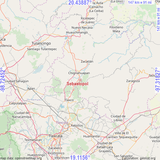
Sebastopol GPS coordinates[2]
19° 46' 42.996" North, 98° 1' 17.004" West
| Map corner | latitude | longitude |
|---|---|---|
| Upper-left | 20.43887°, | -98.72452° |
| Center: | 19.77861°, | -98.02139° |
| Lower-right: | 19.1156°, | -97.31827° |
| Map W x H: | 147.1×147.1 km | = 91.4×91.4mi |
| max Lat: | 32.7° ⇑47.8% North |
| Sebastopol: | 19.77861° |
| min Lat: | ⇓52.2% South 14.53588° |
| min Long | Sebastopol | max Long |
| -117.105° | -98.02139° | -86.73105° |
| W 63.4%⇐ | ⇒36.6% E |
Elevation
Elevation of Sebastopol is 2377 m = 7799 ft, and this is 1123.3 m = 3685 ft above average elevation for this country.
| Max E: |
3497 m = 11473 ft | 10.9% |
| Sebastopol | 2377 m 7799 ft | |
| Avg. | 1253.7 m = 4113 ft | |
Min E: |
-1 m = -3 ft | 89.1% |
See also: Mexico elevation on elevation.city.
Geographical zone
Sebastopol is located in North Torrid zone (between Equator and Tropic of Cancer). Distance of this Northern Tropic circle is 406.7 km =252.7 mi to North.| Distance of | km | miles | from Sebastopol |
|---|---|---|---|
| North Pole | 7807.9 | 4851.6 | to North |
| Arctic Circle | 5202 | 3232.4 | to North |
| Tropic Cancer | 406.7 | 252.7 | to North |
| Equator | 2199.2 | 1366.5 | to South |


Nearby cities:
15 places around Sebastopol: (largest is in red/bold)
• Aquixtla
9.2 km =5.7 mi,  77°
77°
• Chichicaxtla
6.5 km =4 mi,  124°
124°
• Chignahuapan
6.8 km =4.2 mi,  350°
350°
• Coacoyunga
4 km =2.5 mi, 348°
• Cuautieco
10.3 km =6.4 mi,  87°
87°
• El Fresno
8 km =5 mi,  227°
227°
• El Terrero
7.7 km =4.8 mi, 83°
• Ixtlahuaca Barrio
6.7 km =4.2 mi,  6°
6°
• Loma Alta
2.1 km =1.3 mi,  343°
343°
• Lázaro Cárdenas (Tzitla)
5.4 km =3.4 mi,  321°
321°
• Matlahuacales Aquiles Serdán
3.9 km =2.4 mi,  241°
241°
• Michac
8.8 km =5.5 mi, 339°
• San Antonio Matlahuacales
6.8 km =4.2 mi,  247°
247°
• Tenextla
6.2 km =3.9 mi, 9°
• Villa Cuauhtémoc
7.9 km =4.9 mi,  269°
269°
Sources, notices
• [Note1] Compared only with cities in Mexico existing in our database
• [Src1] Map data: © OpenStreetMap contributors (CC-BY-SA)
• [Src2] Other city data from geonames.org with taken over terms of usage.
• [Src3] Geographical zone / Annual Mean Temperature by Robert A. Rohde @ Wikipedia
