Plan de los Muertos geodata
Plan de los Muertos (Guerrero) is a populated place; located in Mexico in America/Mexico_City (GMT-6) time zone. With population of 646 people, there are 13395 cities with bigger population in this country. Compared to other cities in Mexico, 92.3% of cities are located further ↑North; 60.7% of cities are located further ←West and 72.9% of cities have higher elevation than Plan de los Muertos. Note1


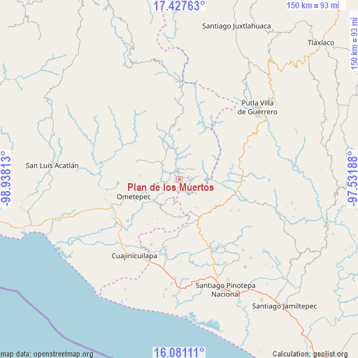
Plan de los Muertos GPS coordinates[2]
16° 45' 20.016" North, 98° 14' 6" West
| Map corner | latitude | longitude |
|---|---|---|
| Upper-left | 17.42763°, | -98.93813° |
| Center: | 16.75556°, | -98.235° |
| Lower-right: | 16.08111°, | -97.53188° |
| Map W x H: | 149.7×149.7 km | = 93×93mi |
| max Lat: | 32.7° ⇑92.3% North |
| Plan de los Muertos: | 16.75556° |
| min Lat: | ⇓7.7% South 14.53588° |
| min Long | Plan de los Mue | max Long |
| -117.105° | -98.235° | -86.73105° |
| W 60.7%⇐ | ⇒39.3% E |
Elevation
Elevation of Plan de los Muertos is 291 m = 955 ft, and this is 962.7 m = 3158 ft below average elevation for this country.
| Max E: |
3497 m = 11473 ft | 72.9% |
| Avg. | 1253.7 m = 4113 ft | |
| Plan de los Muertos | 291 m = 955 ft | |
Min E: |
-1 m = -3 ft | 27.1% |
See also: Mexico elevation on elevation.city.
Geographical zone
Plan de los Muertos is located in North Torrid zone (between Equator and Tropic of Cancer). Distance of this Northern Tropic circle is 742.9 km =461.6 mi to North.| Distance of | km | miles | from Plan de los Muertos |
|---|---|---|---|
| North Pole | 8144 | 5060.4 | to North |
| Arctic Circle | 5538.1 | 3441.2 | to North |
| Tropic Cancer | 742.9 | 461.6 | to North |
| Equator | 1863 | 1157.6 | to South |


Nearby cities:
15 places around Plan de los Muertos: (largest is in red/bold)
• Arroyo Gente
4.9 km =3 mi,  125°
125°
• Colonia Renacimiento
5.7 km =3.5 mi,  81°
81°
• Cruz Verde II
9 km =5.6 mi,  224°
224°
• Cumbre de Barranca Honda
11.1 km =6.9 mi,  256°
256°
• El Santiago
3.2 km =2 mi, 80°
• Guadalupe Victoria
5.7 km =3.5 mi,  89°
89°
• Huixtepec
13.5 km =8.4 mi,  213°
213°
• La Concepción
10.9 km =6.8 mi,  193°
193°
• La Guadalupe
8 km =5 mi,  201°
201°
• Los Liros
2.6 km =1.6 mi, 132°
• Plan de Pierna
4.2 km =2.6 mi,  60°
60°
• San Antonio Ocotlán
13.9 km =8.6 mi,  148°
148°
• Tlacoachistlahuaca
9.3 km =5.8 mi,  311°
311°
• Xochistlahuaca
4.4 km =2.7 mi,  351°
351°
• Zacoalpan
5.7 km =3.5 mi, 258°
Sources, notices
• [Note1] Compared only with cities in Mexico existing in our database
• [Src1] Map data: © OpenStreetMap contributors (CC-BY-SA)
• [Src2] Other city data from geonames.org with taken over terms of usage.
• [Src3] Geographical zone / Annual Mean Temperature by Robert A. Rohde @ Wikipedia
