Ahuatlán geodata
Ahuatlán (Puebla) is a populated place; located in Mexico in America/Mexico_City (GMT-6) time zone. With population of 516 people, there are 16314 cities with bigger population in this country. Compared to other cities in Mexico, 55.4% of cities are located further ↓South; 66% of cities are located further ←West and 50.2% of cities have higher elevation than Ahuatlán. Note1


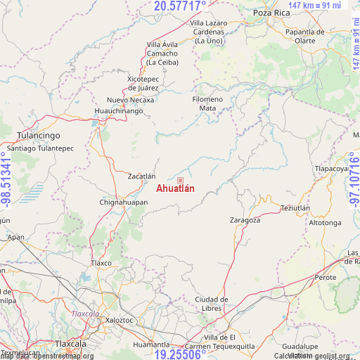
Ahuatlán GPS coordinates[2]
19° 55' 3" North, 97° 48' 37.008" West
| Map corner | latitude | longitude |
|---|---|---|
| Upper-left | 20.57717°, | -98.51341° |
| Center: | 19.9175°, | -97.81028° |
| Lower-right: | 19.25506°, | -97.10716° |
| Map W x H: | 147×147 km | = 91.3×91.3mi |
| max Lat: | 32.7° ⇑44.6% North |
| Ahuatlán: | 19.9175° |
| min Lat: | ⇓55.4% South 14.53588° |
| min Long | Ahuatlán | max Long |
| -117.105° | -97.81028° | -86.73105° |
| W 66%⇐ | ⇒34% E |
Elevation
Elevation of Ahuatlán is 1421 m = 4662 ft, and this is 167.3 m = 549 ft above average elevation for this country.
| Max E: |
3497 m = 11473 ft | 50.2% |
| Ahuatlán | 1421 m 4662 ft | |
| Avg. | 1253.7 m = 4113 ft | |
Min E: |
-1 m = -3 ft | 49.8% |
See also: Mexico elevation on elevation.city.
Geographical zone
Ahuatlán is located in North Torrid zone (between Equator and Tropic of Cancer). Distance of this Northern Tropic circle is 391.3 km =243.1 mi to North.| Distance of | km | miles | from Ahuatlán |
|---|---|---|---|
| North Pole | 7792.4 | 4842 | to North |
| Arctic Circle | 5186.6 | 3222.8 | to North |
| Tropic Cancer | 391.3 | 243.1 | to North |
| Equator | 2214.6 | 1376.1 | to South |


Nearby cities:
15 places around Ahuatlán: (largest is in red/bold)
• Cerro Verde (Ejecatepeco)
1.9 km =1.2 mi,  61°
61°
• Chicometepec (San Simón)
5.3 km =3.3 mi,  339°
339°
• Cuautempan
1.7 km =1.1 mi,  104°
104°
• Hueytentan
4.3 km =2.7 mi,  198°
198°
• Ixtolco de Morelos
1.5 km =0.9 mi,  209°
209°
• San Antonio Taltzintán
8.3 km =5.2 mi, 96°
• Tenepanigia (Santa Elena)
6.7 km =4.2 mi,  36°
36°
• Tepetzintla
6.4 km =4 mi,  329°
329°
• Tlamanca de Hernández
4.3 km =2.7 mi,  353°
353°
• Tlapacholoya
3.6 km =2.2 mi, 40°
• Tonalixco
7.7 km =4.8 mi, 336°
• Totomoxtla
1.9 km =1.2 mi,  1°
1°
• Vista Hermosa
3 km =1.9 mi,  105°
105°
• Xaltatempa de Lucas
5.8 km =3.6 mi,  220°
220°
• Xochitlaxco (San Baltazar)
6.2 km =3.9 mi,  295°
295°
Sources, notices
• [Note1] Compared only with cities in Mexico existing in our database
• [Src1] Map data: © OpenStreetMap contributors (CC-BY-SA)
• [Src2] Other city data from geonames.org with taken over terms of usage.
• [Src3] Geographical zone / Annual Mean Temperature by Robert A. Rohde @ Wikipedia
