San Antonio Taltzintán geodata
San Antonio Taltzintán (Puebla) is a populated place; located in Mexico in America/Mexico_City (GMT-6) time zone. With population of 721 people, there are 12102 cities with bigger population in this country. Compared to other cities in Mexico, 55.2% of cities are located further ↓South; 66.9% of cities are located further ←West and 54.9% of cities have higher elevation than San Antonio Taltzintán. Note1


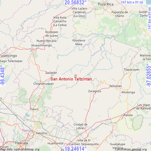
San Antonio Taltzintán GPS coordinates[2]
19° 54' 30.996" North, 97° 43' 54.012" West
| Map corner | latitude | longitude |
|---|---|---|
| Upper-left | 20.56832°, | -98.4348° |
| Center: | 19.90861°, | -97.73167° |
| Lower-right: | 19.24614°, | -97.02855° |
| Map W x H: | 147×147 km | = 91.3×91.3mi |
| max Lat: | 32.7° ⇑44.8% North |
| San Antonio Taltzintán: | 19.90861° |
| min Lat: | ⇓55.2% South 14.53588° |
| min Long | San Antonio Tal | max Long |
| -117.105° | -97.73167° | -86.73105° |
| W 66.9%⇐ | ⇒33.1% E |
Elevation
Elevation of San Antonio Taltzintán is 1201 m = 3940 ft, and this is 52.7 m = 173 ft below average elevation for this country.
| Max E: |
3497 m = 11473 ft | 54.9% |
| Avg. | 1253.7 m = 4113 ft | |
| San Antonio Taltzintán | 1201 m = 3940 ft | |
Min E: |
-1 m = -3 ft | 45.1% |
See also: Mexico elevation on elevation.city.
Geographical zone
San Antonio Taltzintán is located in North Torrid zone (between Equator and Tropic of Cancer). Distance of this Northern Tropic circle is 392.3 km =243.8 mi to North.| Distance of | km | miles | from San Antonio Taltzintán |
|---|---|---|---|
| North Pole | 7793.4 | 4842.6 | to North |
| Arctic Circle | 5187.5 | 3223.4 | to North |
| Tropic Cancer | 392.3 | 243.8 | to North |
| Equator | 2213.6 | 1375.5 | to South |


Nearby cities:
15 places around San Antonio Taltzintán: (largest is in red/bold)
• Ahuatlán
8.3 km =5.2 mi,  276°
276°
• Cerro Verde (Ejecatepeco)
6.8 km =4.2 mi,  286°
286°
• Cuarta Sección
8.3 km =5.2 mi,  29°
29°
• Cuautempan
6.6 km =4.1 mi,  274°
274°
• Huapalegcan
8.3 km =5.2 mi,  53°
53°
• Huitzilan
7.6 km =4.7 mi, 30°
• Ixtolco de Morelos
9 km =5.6 mi, 267°
• Pahuatla
7.4 km =4.6 mi,  61°
61°
• Primera Sección
7.2 km =4.5 mi, 34°
• Tenepanigia (Santa Elena)
7.6 km =4.7 mi,  326°
326°
• Tlapacholoya
7 km =4.3 mi,  302°
302°
• Totomoxtla
8.7 km =5.4 mi, 289°
• Vista Hermosa
5.3 km =3.3 mi, 271°
• Zongozotla
7.9 km =4.9 mi,  3°
3°
• Zoyotla
4.5 km =2.8 mi, 61°
Sources, notices
• [Note1] Compared only with cities in Mexico existing in our database
• [Src1] Map data: © OpenStreetMap contributors (CC-BY-SA)
• [Src2] Other city data from geonames.org with taken over terms of usage.
• [Src3] Geographical zone / Annual Mean Temperature by Robert A. Rohde @ Wikipedia
