Ringim geodata
Ringim (Jigawa) is a seat of a second-order administrative division; located in Nigeria in Africa/Lagos (GMT+1) time zone. With population of 14,463 people, there are 249 cities with bigger population in this country. Compared to other cities in Nigeria, 86.3% of cities are located further ↓South; 78% of cities are located further ←West and 68.8% of cities have lower elevation than Ringim. Note1


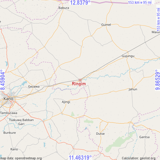
Ringim GPS coordinates[2]
12° 9' 5.148" North, 9° 9' 43.776" East
| Map corner | latitude | longitude |
|---|---|---|
| Upper-left | 12.8379°, | 8.45904° |
| Center: | 12.15143°, | 9.16216° |
| Lower-right: | 11.46319°, | 9.86529° |
| Map W x H: | 152.9×152.9 km | = 95×95mi |
| max Lat: | 13.7543° ⇑13.7% North |
| Ringim: | 12.15143° |
| min Lat: | ⇓86.3% South 4.31231° |
| min Long | Ringim | max Long |
| 2.73333° | 9.16216° | 14.46552° |
| W 78%⇐ | ⇒22% E |
Elevation
Elevation of Ringim is 392 m = 1286 ft, and this is 95.5 m = 313 ft above average elevation for this country.
| Max E: |
1599 m = 5246 ft | 31.2% |
| Ringim | 392 m 1286 ft | |
| Avg. | 296.5 m = 973 ft | |
Min E: |
2 m = 7 ft | 68.8% |
See also: Nigeria elevation on elevation.city.
Geographical zone
Ringim is located in North Torrid zone (between Equator and Tropic of Cancer). Distance of this Northern Tropic circle is 1254.8 km =779.7 mi to North.| Distance of | km | miles | from Ringim |
|---|---|---|---|
| North Pole | 8655.9 | 5378.5 | to North |
| Arctic Circle | 6050.1 | 3759.4 | to North |
| Tropic Cancer | 1254.8 | 779.7 | to North |
| Equator | 1351.1 | 839.5 | to South |


Nearby cities:
15 places around Ringim: (largest is in red/bold)
• Ajingi
24.5 km =15.2 mi,  213°
213°
• Albasu
53.1 km =33 mi,  182°
182°
• Dutse
48 km =29.8 mi,  156°
156°
• Gagarawa
49 km =30.4 mi,  54°
54°
• Garki
31.6 km =19.6 mi,  5°
5°
• Gaya
36.7 km =22.8 mi, 208°
• Gezawa
45.1 km =28 mi,  262°
262°
• Gumel
58.3 km =36.2 mi,  24°
24°
• Jahun
51.3 km =31.9 mi,  99°
99°
• Minjibir
54.9 km =34.1 mi,  273°
273°
• Sule Tankarkar
57.8 km =35.9 mi, 7°
• Taura
15.6 km =9.7 mi,  57°
57°
• Warawa
59.3 km =36.8 mi,  237°
237°
• Wudil
51.4 km =31.9 mi,  222°
222°
• Zakirai
30.6 km =19 mi, 259°
Sources, notices
• [Note1] Compared only with cities in Nigeria existing in our database
• [Src1] Map data: © OpenStreetMap contributors (CC-BY-SA)
• [Src2] Other city data from geonames.org with taken over terms of usage.
• [Src3] Geographical zone / Annual Mean Temperature by Robert A. Rohde @ Wikipedia
