Patigi geodata
Patigi (Kwara) is a seat of a second-order administrative division; located in Nigeria in Africa/Lagos (GMT+1) time zone. With population of 28,285 people, there are 166 cities with bigger population in this country. Compared to other cities in Nigeria, 52.4% of cities are located further ↓South; 73.3% of cities are located further →East and 74.7% of cities have higher elevation than Patigi. Note1


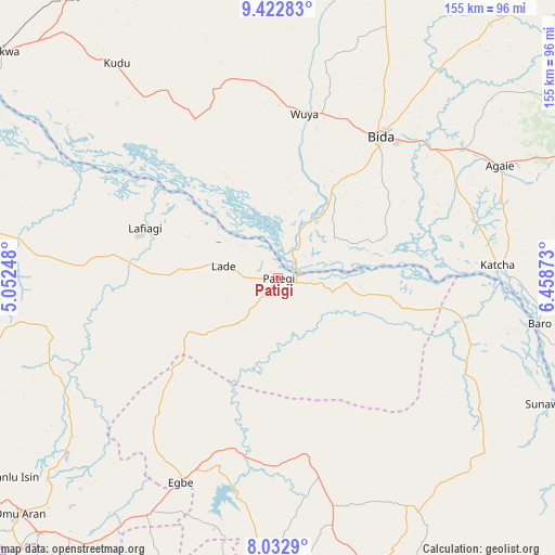
Patigi GPS coordinates[2]
8° 43' 42.636" North, 5° 45' 20.196" East
| Map corner | latitude | longitude |
|---|---|---|
| Upper-left | 9.42283°, | 5.05248° |
| Center: | 8.72851°, | 5.75561° |
| Lower-right: | 8.0329°, | 6.45873° |
| Map W x H: | 154.5×154.5 km | = 96×96mi |
| max Lat: | 13.7543° ⇑47.6% North |
| Patigi: | 8.72851° |
| min Lat: | ⇓52.4% South 4.31231° |
| min Long | Patigi | max Long |
| 2.73333° | 5.75561° | 14.46552° |
| W 26.7%⇐ | ⇒73.3% E |
Elevation
Elevation of Patigi is 123 m = 404 ft, and this is 173.5 m = 569 ft below average elevation for this country.
| Max E: |
1599 m = 5246 ft | 74.7% |
| Avg. | 296.5 m = 973 ft | |
| Patigi | 123 m = 404 ft | |
Min E: |
2 m = 7 ft | 25.3% |
See also: Nigeria elevation on elevation.city.
Geographical zone
Patigi is located in North Torrid zone (between Equator and Tropic of Cancer). Distance of Equator is 970.5 km =603 mi to South.| Distance of | km | miles | from Patigi |
|---|---|---|---|
| North Pole | 9036.5 | 5615 | to North |
| Arctic Circle | 6430.7 | 3995.9 | to North |
| Tropic Cancer | 1635.4 | 1016.2 | to North |
| Equator | 970.5 | 603 | to South |


Nearby cities:
15 places around Patigi: (largest is in red/bold)
• Agaie
69.2 km =43 mi,  63°
63°
• Badeggi
56 km =34.8 mi,  49°
49°
• Baro
73.9 km =45.9 mi,  99°
99°
• Bida
48.1 km =29.9 mi,  35°
35°
• Egbe
62.7 km =39 mi,  204°
204°
• Enagi
50.1 km =31.1 mi,  332°
332°
• Isanlu
49.4 km =30.7 mi,  171°
171°
• Isanlu-Itedoijowa
51.2 km =31.8 mi, 170°
• Katcha
61.3 km =38.1 mi,  86°
86°
• Kutigi
55.4 km =34.4 mi,  341°
341°
• Lafiagi
39.8 km =24.7 mi,  290°
290°
• Lemu
80.1 km =49.8 mi,  21°
21°
• Mopa
71.1 km =44.2 mi, 167°
• Odo-Ere
57.8 km =35.9 mi, 203°
• Share
86.6 km =53.8 mi,  276°
276°
Sources, notices
• [Note1] Compared only with cities in Nigeria existing in our database
• [Src1] Map data: © OpenStreetMap contributors (CC-BY-SA)
• [Src2] Other city data from geonames.org with taken over terms of usage.
• [Src3] Geographical zone / Annual Mean Temperature by Robert A. Rohde @ Wikipedia
