Mando geodata
Mando (Kaduna) is a populated place; located in Nigeria in Africa/Lagos (GMT+1) time zone. With population of 7,500 people, there are 397 cities with bigger population in this country. Compared to other cities in Nigeria, 70.5% of cities are located further ↓South; 63.8% of cities are located further →East and 75.4% of cities have lower elevation than Mando. Note1


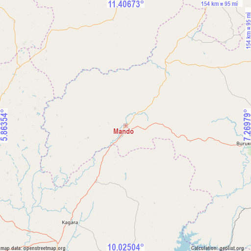
Mando GPS coordinates[2]
10° 43' 0.012" North, 6° 34' 0.012" East
| Map corner | latitude | longitude |
|---|---|---|
| Upper-left | 11.40673°, | 5.86354° |
| Center: | 10.71667°, | 6.56667° |
| Lower-right: | 10.02504°, | 7.26979° |
| Map W x H: | 153.6×153.6 km | = 95.4×95.4mi |
| max Lat: | 13.7543° ⇑29.5% North |
| Mando: | 10.71667° |
| min Lat: | ⇓70.5% South 4.31231° |
| min Long | Mando | max Long |
| 2.73333° | 6.56667° | 14.46552° |
| W 36.2%⇐ | ⇒63.8% E |
Elevation
Elevation of Mando is 435 m = 1427 ft, and this is 138.5 m = 454 ft above average elevation for this country.
| Max E: |
1599 m = 5246 ft | 24.6% |
| Mando | 435 m 1427 ft | |
| Avg. | 296.5 m = 973 ft | |
Min E: |
2 m = 7 ft | 75.4% |
See also: Nigeria elevation on elevation.city.
Geographical zone
Mando is located in North Torrid zone (between Equator and Tropic of Cancer). Distance of Equator is 1191.6 km =740.4 mi to South.| Distance of | km | miles | from Mando |
|---|---|---|---|
| North Pole | 8815.5 | 5477.7 | to North |
| Arctic Circle | 6209.6 | 3858.5 | to North |
| Tropic Cancer | 1414.3 | 878.8 | to North |
| Equator | 1191.6 | 740.4 | to South |


Nearby cities:
15 places around Mando: (largest is in red/bold)
• Bangi
81.8 km =50.8 mi,  279°
279°
• Bena
93.5 km =58.1 mi,  312°
312°
• Birnin Gwari
6.6 km =4.1 mi,  206°
206°
• Dan Sadau
64.9 km =40.3 mi,  353°
353°
• Dandume
102.6 km =63.8 mi,  36°
36°
• Kaduna
97.6 km =60.6 mi,  102°
102°
• Kagara
68.1 km =42.3 mi, 210°
• Kusheriki
24.6 km =15.3 mi, 213°
• Kuta
95.6 km =59.4 mi,  170°
170°
• Makera
96.1 km =59.7 mi,  106°
106°
• Sabuwa
79 km =49.1 mi,  49°
49°
• Sarkin Pawa
97.7 km =60.7 mi,  142°
142°
• Sofo-Birnin-Gwari
40.6 km =25.2 mi, 35°
• Tegina
82.8 km =51.4 mi, 209°
• Ukata
82 km =51 mi, 278°
Sources, notices
• [Note1] Compared only with cities in Nigeria existing in our database
• [Src1] Map data: © OpenStreetMap contributors (CC-BY-SA)
• [Src2] Other city data from geonames.org with taken over terms of usage.
• [Src3] Geographical zone / Annual Mean Temperature by Robert A. Rohde @ Wikipedia
