Kagarko geodata
Kagarko (Kaduna) is a seat of a second-order administrative division; located in Nigeria in Africa/Lagos (GMT+1) time zone. In our database, there are 451 cities with bigger population. Compared to other cities in Nigeria, 59.7% of cities are located further ↓South; 57.7% of cities are located further ←West and 95.6% of cities have lower elevation than Kagarko. Note1


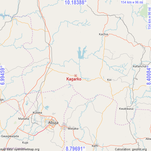
Kagarko GPS coordinates[2]
9° 29' 27.96" North, 7° 41' 51.756" East
| Map corner | latitude | longitude |
|---|---|---|
| Upper-left | 10.18388°, | 6.99459° |
| Center: | 9.4911°, | 7.69771° |
| Lower-right: | 8.79691°, | 8.40084° |
| Map W x H: | 154.2×154.2 km | = 95.8×95.8mi |
| max Lat: | 13.7543° ⇑40.3% North |
| Kagarko: | 9.4911° |
| min Lat: | ⇓59.7% South 4.31231° |
| min Long | Kagarko | max Long |
| 2.73333° | 7.69771° | 14.46552° |
| W 57.7%⇐ | ⇒42.3% E |
Elevation
Elevation of Kagarko is 672 m = 2205 ft, and this is 375.5 m = 1232 ft above average elevation for this country.
| Max E: |
1599 m = 5246 ft | 4.4% |
| Kagarko | 672 m 2205 ft | |
| Avg. | 296.5 m = 973 ft | |
Min E: |
2 m = 7 ft | 95.6% |
See also: Nigeria elevation on elevation.city.
Geographical zone
Kagarko is located in North Torrid zone (between Equator and Tropic of Cancer). Distance of Equator is 1055.3 km =655.7 mi to South.| Distance of | km | miles | from Kagarko |
|---|---|---|---|
| North Pole | 8951.8 | 5562.4 | to North |
| Arctic Circle | 6345.9 | 3943.2 | to North |
| Tropic Cancer | 1550.6 | 963.5 | to North |
| Equator | 1055.3 | 655.7 | to South |


Nearby cities:
15 places around Kagarko: (largest is in red/bold)
• Abuja
53.1 km =33 mi,  204°
204°
• Bwari
42 km =26.1 mi,  235°
235°
• Gawu Babangida
80.8 km =50.2 mi,  252°
252°
• Kachia
51 km =31.7 mi,  33°
33°
• Kafanchan
66 km =41 mi,  81°
81°
• Kagoro
77.1 km =47.9 mi, 80°
• Karu
53.7 km =33.4 mi,  184°
184°
• Kaura
85.7 km =53.3 mi, 76°
• Keffi
74.2 km =46.1 mi,  164°
164°
• Kuje
85.4 km =53.1 mi,  217°
217°
• Kwoi
34.1 km =21.2 mi,  96°
96°
• Madala
68.4 km =42.5 mi,  231°
231°
• Sabon Wuse
51 km =31.7 mi, 249°
• Suleja
66.5 km =41.3 mi, 238°
• Zonkwa
72.7 km =45.2 mi,  63°
63°
Sources, notices
• [Note1] Compared only with cities in Nigeria existing in our database
• [Src1] Map data: © OpenStreetMap contributors (CC-BY-SA)
• [Src2] Other city data from geonames.org with taken over terms of usage.
• [Src3] Geographical zone / Annual Mean Temperature by Robert A. Rohde @ Wikipedia
