Kagoro geodata
Kagoro (Kaduna) is a populated place; located in Nigeria in Africa/Lagos (GMT+1) time zone. With population of 77,008 people, there are 118 cities with bigger population in this country. Compared to other cities in Nigeria, 60.4% of cities are located further ↓South; 70.1% of cities are located further ←West and 98.1% of cities have lower elevation than Kagoro. Note1


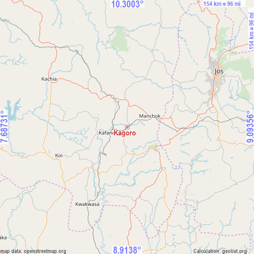
Kagoro GPS coordinates[2]
9° 36' 27.936" North, 8° 23' 25.548" East
| Map corner | latitude | longitude |
|---|---|---|
| Upper-left | 10.3003°, | 7.68731° |
| Center: | 9.60776°, | 8.39043° |
| Lower-right: | 8.9138°, | 9.09356° |
| Map W x H: | 154.2×154.2 km | = 95.8×95.8mi |
| max Lat: | 13.7543° ⇑39.6% North |
| Kagoro: | 9.60776° |
| min Lat: | ⇓60.4% South 4.31231° |
| min Long | Kagoro | max Long |
| 2.73333° | 8.39043° | 14.46552° |
| W 70.1%⇐ | ⇒29.9% E |
Elevation
Elevation of Kagoro is 816 m = 2677 ft, and this is 519.5 m = 1704 ft above average elevation for this country.
| Max E: |
1599 m = 5246 ft | 1.9% |
| Kagoro | 816 m 2677 ft | |
| Avg. | 296.5 m = 973 ft | |
Min E: |
2 m = 7 ft | 98.1% |
See also: Kagoro elevation on elevation.city.
Geographical zone
Kagoro is located in North Torrid zone (between Equator and Tropic of Cancer). Distance of Equator is 1068.3 km =663.8 mi to South.| Distance of | km | miles | from Kagoro |
|---|---|---|---|
| North Pole | 8938.8 | 5554.3 | to North |
| Arctic Circle | 6332.9 | 3935.1 | to North |
| Tropic Cancer | 1537.6 | 955.4 | to North |
| Equator | 1068.3 | 663.8 | to South |


Nearby cities:
15 places around Kagoro: (largest is in red/bold)
• Akwanga
77.5 km =48.2 mi,  178°
178°
• Barkin Ladi
55.6 km =34.5 mi,  98°
98°
• Bassa
53.4 km =33.2 mi,  45°
45°
• Bokkos
74.6 km =46.4 mi,  117°
117°
• Bukuru
55.9 km =34.7 mi,  68°
68°
• Gwantu
42.8 km =26.6 mi,  170°
170°
• Jos
65.5 km =40.7 mi,  57°
57°
• Kachia
56.2 km =34.9 mi,  301°
301°
• Kafanchan
11.1 km =6.9 mi,  254°
254°
• Kagarko
77.1 km =47.9 mi,  260°
260°
• Kaura
10 km =6.2 mi, 47°
• Kwoi
45.3 km =28.1 mi, 248°
• Riyom
40.3 km =25 mi,  85°
85°
• Vom
46 km =28.6 mi, 72°
• Zonkwa
22.5 km =14 mi,  330°
330°
Sources, notices
• [Note1] Compared only with cities in Nigeria existing in our database
• [Src1] Map data: © OpenStreetMap contributors (CC-BY-SA)
• [Src2] Other city data from geonames.org with taken over terms of usage.
• [Src3] Geographical zone / Annual Mean Temperature by Robert A. Rohde @ Wikipedia
