Angware geodata
Angware (Plateau) is a seat of a second-order administrative division; located in Nigeria in Africa/Lagos (GMT+1) time zone. In our database, there are 451 cities with bigger population. Compared to other cities in Nigeria, 64.3% of cities are located further ↓South; 77.6% of cities are located further ←West and 98.6% of cities have lower elevation than Angware. Note1


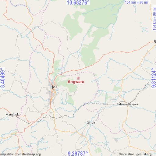
Angware GPS coordinates[2]
9° 59' 27.78" North, 9° 6' 29.196" East
| Map corner | latitude | longitude |
|---|---|---|
| Upper-left | 10.68276°, | 8.40499° |
| Center: | 9.99105°, | 9.10811° |
| Lower-right: | 9.29787°, | 9.81124° |
| Map W x H: | 154×154 km | = 95.7×95.7mi |
| max Lat: | 13.7543° ⇑35.7% North |
| Angware: | 9.99105° |
| min Lat: | ⇓64.3% South 4.31231° |
| min Long | Angware | max Long |
| 2.73333° | 9.10811° | 14.46552° |
| W 77.6%⇐ | ⇒22.4% E |
Elevation
Elevation of Angware is 938 m = 3077 ft, and this is 641.5 m = 2105 ft above average elevation for this country.
| Max E: |
1599 m = 5246 ft | 1.4% |
| Angware | 938 m 3077 ft | |
| Avg. | 296.5 m = 973 ft | |
Min E: |
2 m = 7 ft | 98.6% |
See also: Nigeria elevation on elevation.city.
Geographical zone
Angware is located in North Torrid zone (between Equator and Tropic of Cancer). Distance of Equator is 1110.9 km =690.3 mi to South.| Distance of | km | miles | from Angware |
|---|---|---|---|
| North Pole | 8896.2 | 5527.8 | to North |
| Arctic Circle | 6290.3 | 3908.6 | to North |
| Tropic Cancer | 1495 | 928.9 | to North |
| Equator | 1110.9 | 690.3 | to South |


Nearby cities:
15 places around Angware: (largest is in red/bold)
• Barkin Ladi
55.6 km =34.5 mi,  205°
205°
• Bassa
40.6 km =25.2 mi,  262°
262°
• Bogoro
65.2 km =40.5 mi,  123°
123°
• Boi
64.4 km =40 mi,  137°
137°
• Bukuru
34.6 km =21.5 mi,  230°
230°
• Bununu
63.9 km =39.7 mi,  100°
100°
• Dass
44.7 km =27.8 mi,  88°
88°
• Jos
24.7 km =15.3 mi,  253°
253°
• Lame
52.1 km =32.4 mi,  16°
16°
• Lere
40.2 km =25 mi, 140°
• Mangu
52.3 km =32.5 mi,  181°
181°
• Riyom
55.1 km =34.2 mi,  224°
224°
• Tafawa Balewa
55 km =34.2 mi, 117°
• Toro
8.7 km =5.4 mi,  330°
330°
• Vom
45.3 km =28.1 mi, 229°
Sources, notices
• [Note1] Compared only with cities in Nigeria existing in our database
• [Src1] Map data: © OpenStreetMap contributors (CC-BY-SA)
• [Src2] Other city data from geonames.org with taken over terms of usage.
• [Src3] Geographical zone / Annual Mean Temperature by Robert A. Rohde @ Wikipedia
