Lame geodata
Lame (Bauchi) is a populated place; located in Nigeria in Africa/Lagos (GMT+1) time zone. With population of 6,705 people, there are 427 cities with bigger population in this country. Compared to other cities in Nigeria, 68.3% of cities are located further ↓South; 78.9% of cities are located further ←West and 97% of cities have lower elevation than Lame. Note1


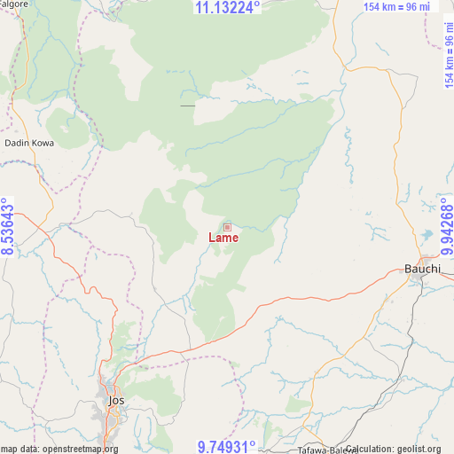
Lame GPS coordinates[2]
10° 26' 29.544" North, 9° 14' 22.38" East
| Map corner | latitude | longitude |
|---|---|---|
| Upper-left | 11.13224°, | 8.53643° |
| Center: | 10.44154°, | 9.23955° |
| Lower-right: | 9.74931°, | 9.94268° |
| Map W x H: | 153.8×153.8 km | = 95.6×95.6mi |
| max Lat: | 13.7543° ⇑31.7% North |
| Lame: | 10.44154° |
| min Lat: | ⇓68.3% South 4.31231° |
| min Long | Lame | max Long |
| 2.73333° | 9.23955° | 14.46552° |
| W 78.9%⇐ | ⇒21.1% E |
Elevation
Elevation of Lame is 711 m = 2333 ft, and this is 414.5 m = 1360 ft above average elevation for this country.
| Max E: |
1599 m = 5246 ft | 3% |
| Lame | 711 m 2333 ft | |
| Avg. | 296.5 m = 973 ft | |
Min E: |
2 m = 7 ft | 97% |
See also: Nigeria elevation on elevation.city.
Geographical zone
Lame is located in North Torrid zone (between Equator and Tropic of Cancer). Distance of Equator is 1161 km =721.4 mi to South.| Distance of | km | miles | from Lame |
|---|---|---|---|
| North Pole | 8846.1 | 5496.7 | to North |
| Arctic Circle | 6240.2 | 3877.5 | to North |
| Tropic Cancer | 1444.9 | 897.8 | to North |
| Equator | 1161 | 721.4 | to South |


Nearby cities:
15 places around Lame: (largest is in red/bold)
• Angware
52.1 km =32.4 mi,  196°
196°
• Bassa
77.9 km =48.4 mi,  224°
224°
• Bauchi
67.7 km =42.1 mi,  102°
102°
• Bukuru
82.9 km =51.5 mi,  209°
209°
• Bununu
78.7 km =48.9 mi,  142°
142°
• Dass
57.6 km =35.8 mi,  148°
148°
• Jos
68.6 km =42.6 mi, 213°
• Kafin Madaki
63.2 km =39.3 mi,  64°
64°
• Lere
73.2 km =45.5 mi,  265°
265°
• Lere
82 km =51 mi,  172°
172°
• Ningi
79.4 km =49.3 mi,  26°
26°
• Ririwai
63.8 km =39.6 mi,  301°
301°
• Saminaka
60.5 km =37.6 mi, 266°
• Toro
46.5 km =28.9 mi, 203°
• Yamrat
73.9 km =45.9 mi,  119°
119°
Sources, notices
• [Note1] Compared only with cities in Nigeria existing in our database
• [Src1] Map data: © OpenStreetMap contributors (CC-BY-SA)
• [Src2] Other city data from geonames.org with taken over terms of usage.
• [Src3] Geographical zone / Annual Mean Temperature by Robert A. Rohde @ Wikipedia
