Gwaram geodata
Gwaram (Bauchi) is a populated place; located in Nigeria in Africa/Lagos (GMT+1) time zone. With population of 6,700 people, there are 428 cities with bigger population in this country. Compared to other cities in Nigeria, 66.2% of cities are located further ↓South; 86% of cities are located further ←West and 77.2% of cities have lower elevation than Gwaram. Note1


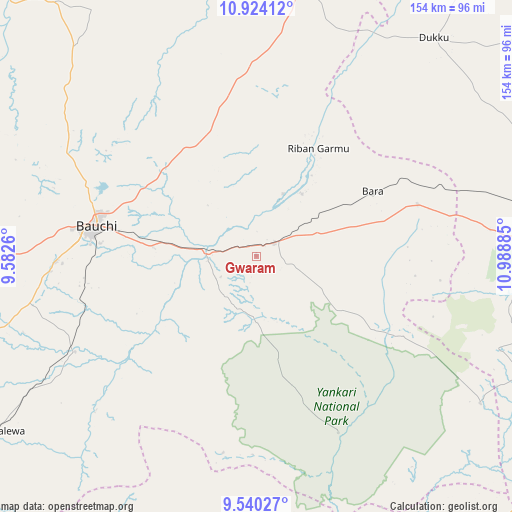
Gwaram GPS coordinates[2]
10° 13' 58.62" North, 10° 17' 8.592" East
| Map corner | latitude | longitude |
|---|---|---|
| Upper-left | 10.92412°, | 9.5826° |
| Center: | 10.23295°, | 10.28572° |
| Lower-right: | 9.54027°, | 10.98885° |
| Map W x H: | 153.9×153.9 km | = 95.6×95.6mi |
| max Lat: | 13.7543° ⇑33.8% North |
| Gwaram: | 10.23295° |
| min Lat: | ⇓66.2% South 4.31231° |
| min Long | Gwaram | max Long |
| 2.73333° | 10.28572° | 14.46552° |
| W 86%⇐ | ⇒14% E |
Elevation
Elevation of Gwaram is 447 m = 1467 ft, and this is 150.5 m = 494 ft above average elevation for this country.
| Max E: |
1599 m = 5246 ft | 22.8% |
| Gwaram | 447 m 1467 ft | |
| Avg. | 296.5 m = 973 ft | |
Min E: |
2 m = 7 ft | 77.2% |
See also: Nigeria elevation on elevation.city.
Geographical zone
Gwaram is located in North Torrid zone (between Equator and Tropic of Cancer). Distance of Equator is 1137.8 km =707 mi to South.| Distance of | km | miles | from Gwaram |
|---|---|---|---|
| North Pole | 8869.3 | 5511.1 | to North |
| Arctic Circle | 6263.4 | 3891.9 | to North |
| Tropic Cancer | 1468.1 | 912.2 | to North |
| Equator | 1137.8 | 707 | to South |


Nearby cities:
15 places around Gwaram: (largest is in red/bold)
• Akko
75.5 km =46.9 mi,  85°
85°
• Alkaleri
6.3 km =3.9 mi,  53°
53°
• Bara
51 km =31.7 mi,  72°
72°
• Bauchi
49.1 km =30.5 mi,  280°
280°
• Bununu
76.9 km =47.8 mi,  239°
239°
• Darazo
86.3 km =53.6 mi,  9°
9°
• Dass
88.1 km =54.7 mi,  252°
252°
• Dindima
14.7 km =9.1 mi,  267°
267°
• Dukku
84.5 km =52.5 mi,  38°
38°
• Kafin Madaki
76.6 km =47.6 mi,  311°
311°
• Kirfi
23.2 km =14.4 mi,  34°
34°
• Pindiga
78 km =48.5 mi,  110°
110°
• Yamrat
52.1 km =32.4 mi, 254°
• Yuli
59.6 km =37 mi,  181°
181°
• Zalanga
44.1 km =27.4 mi,  344°
344°
Sources, notices
• [Note1] Compared only with cities in Nigeria existing in our database
• [Src1] Map data: © OpenStreetMap contributors (CC-BY-SA)
• [Src2] Other city data from geonames.org with taken over terms of usage.
• [Src3] Geographical zone / Annual Mean Temperature by Robert A. Rohde @ Wikipedia
