Umunze geodata
Umunze (Anambra) is a seat of a second-order administrative division; located in Nigeria in Africa/Lagos (GMT+1) time zone. In our database, there are 451 cities with bigger population. Compared to other cities in Nigeria, 84.1% of cities are located further ↑North; 51.7% of cities are located further →East and 63% of cities have higher elevation than Umunze. Note1


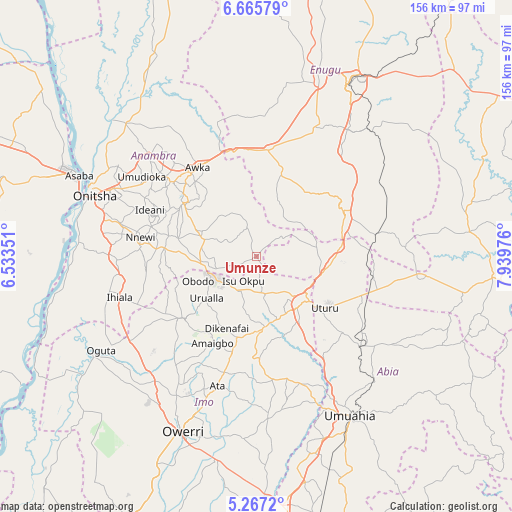
Umunze GPS coordinates[2]
5° 58' 0.984" North, 7° 14' 11.904" East
| Map corner | latitude | longitude |
|---|---|---|
| Upper-left | 6.66579°, | 6.53351° |
| Center: | 5.96694°, | 7.23664° |
| Lower-right: | 5.2672°, | 7.93976° |
| Map W x H: | 155.5×155.5 km | = 96.6×96.6mi |
| max Lat: | 13.7543° ⇑84.1% North |
| Umunze: | 5.96694° |
| min Lat: | ⇓15.9% South 4.31231° |
| min Long | Umunze | max Long |
| 2.73333° | 7.23664° | 14.46552° |
| W 48.3%⇐ | ⇒51.7% E |
Elevation
Elevation of Umunze is 189 m = 620 ft, and this is 107.5 m = 353 ft below average elevation for this country.
| Max E: |
1599 m = 5246 ft | 63% |
| Avg. | 296.5 m = 973 ft | |
| Umunze | 189 m = 620 ft | |
Min E: |
2 m = 7 ft | 37% |
See also: Nigeria elevation on elevation.city.
Geographical zone
Umunze is located in North Torrid zone (between Equator and Tropic of Cancer). Distance of Equator is 663.5 km =412.3 mi to South.| Distance of | km | miles | from Umunze |
|---|---|---|---|
| North Pole | 9343.6 | 5805.8 | to North |
| Arctic Circle | 6737.7 | 4186.6 | to North |
| Tropic Cancer | 1942.5 | 1207 | to North |
| Equator | 663.5 | 412.3 | to South |


Nearby cities:
15 places around Umunze: (largest is in red/bold)
• Aguata
17.3 km =10.7 mi,  288°
288°
• Agulu
24.4 km =15.2 mi,  307°
307°
• Ajalli
9.1 km =5.7 mi,  340°
340°
• Amaigbo
29.6 km =18.4 mi,  207°
207°
• Awgu
29.1 km =18.1 mi,  66°
66°
• Dikenafai
23.7 km =14.7 mi,  202°
202°
• Igbo-Ukwu
24.6 km =15.3 mi,  283°
283°
• Neni
27.5 km =17.1 mi,  301°
301°
• Nkwerre
27.4 km =17 mi, 212°
• Nkwoagu Isuochi
17.7 km =11 mi,  81°
81°
• Okigwe
19.8 km =12.3 mi,  140°
140°
• Okwe
21.2 km =13.2 mi,  185°
185°
• Orlu
29.3 km =18.2 mi,  229°
229°
• Uga
17.7 km =11 mi,  258°
258°
• Urualla
19.7 km =12.2 mi, 230°
Sources, notices
• [Note1] Compared only with cities in Nigeria existing in our database
• [Src1] Map data: © OpenStreetMap contributors (CC-BY-SA)
• [Src2] Other city data from geonames.org with taken over terms of usage.
• [Src3] Geographical zone / Annual Mean Temperature by Robert A. Rohde @ Wikipedia
