Babana geodata
Babana (Niger) is a populated place; located in Nigeria in Africa/Lagos (GMT+1) time zone. With population of 17,617 people, there are 213 cities with bigger population in this country. Compared to other cities in Nigeria, 68.2% of cities are located further ↓South; 93.8% of cities are located further →East and 50.9% of cities have lower elevation than Babana. Note1


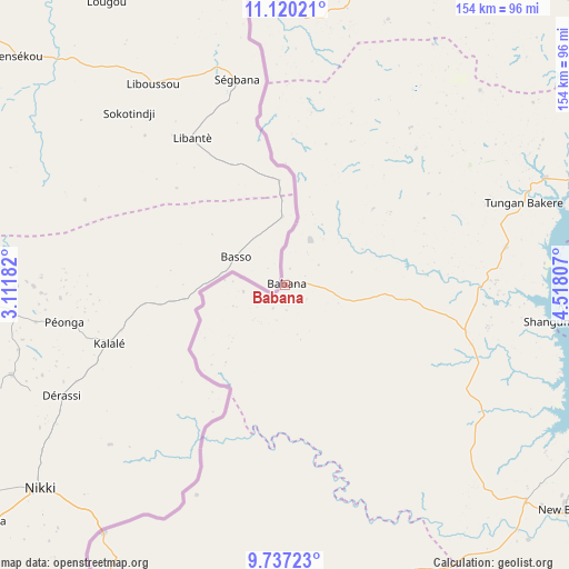
Babana GPS coordinates[2]
10° 25' 46.164" North, 3° 48' 53.82" East
| Map corner | latitude | longitude |
|---|---|---|
| Upper-left | 11.12021°, | 3.11182° |
| Center: | 10.42949°, | 3.81495° |
| Lower-right: | 9.73723°, | 4.51807° |
| Map W x H: | 153.8×153.8 km | = 95.6×95.6mi |
| max Lat: | 13.7543° ⇑31.8% North |
| Babana: | 10.42949° |
| min Lat: | ⇓68.2% South 4.31231° |
| min Long | Babana | max Long |
| 2.73333° | 3.81495° | 14.46552° |
| W 6.2%⇐ | ⇒93.8% E |
Elevation
Elevation of Babana is 291 m = 955 ft, and this is 5.5 m = 18 ft below average elevation for this country.
| Max E: |
1599 m = 5246 ft | 49.1% |
| Avg. | 296.5 m = 973 ft | |
| Babana | 291 m = 955 ft | |
Min E: |
2 m = 7 ft | 50.9% |
See also: Nigeria elevation on elevation.city.
Geographical zone
Babana is located in North Torrid zone (between Equator and Tropic of Cancer). Distance of Equator is 1159.7 km =720.6 mi to South.| Distance of | km | miles | from Babana |
|---|---|---|---|
| North Pole | 8847.4 | 5497.5 | to North |
| Arctic Circle | 6241.5 | 3878.3 | to North |
| Tropic Cancer | 1446.3 | 898.7 | to North |
| Equator | 1159.7 | 720.6 | to South |


Nearby cities:
15 places around Babana: (largest is in red/bold)
• Agwara
89.2 km =55.4 mi,  69°
69°
• Auna
102.9 km =63.9 mi,  105°
105°
• Bagudo
117.2 km =72.8 mi,  22°
22°
• Besse
114.9 km =71.4 mi,  35°
35°
• Bin Yauri
115.7 km =71.9 mi, 70°
• Gwasero
110.7 km =68.8 mi,  198°
198°
• Kaiama
92.7 km =57.6 mi,  171°
171°
• Konkwesso
55.8 km =34.7 mi,  33°
33°
• Kosubosu
116.9 km =72.6 mi,  213°
213°
• New Bussa
97 km =60.3 mi,  128°
128°
• New Shagunnu
72.2 km =44.9 mi,  97°
97°
• Wara
91.2 km =56.7 mi, 104°
• Wawa
88.4 km =54.9 mi, 131°
• Yashikera
86.6 km =53.8 mi, 211°
• Yelwa
110.9 km =68.9 mi, 66°
Sources, notices
• [Note1] Compared only with cities in Nigeria existing in our database
• [Src1] Map data: © OpenStreetMap contributors (CC-BY-SA)
• [Src2] Other city data from geonames.org with taken over terms of usage.
• [Src3] Geographical zone / Annual Mean Temperature by Robert A. Rohde @ Wikipedia
