Vleuten geodata
Vleuten (Utrecht) is a populated place; located in Netherlands in Europe/Amsterdam (GMT+2) time zone. With population of 6,945 people, there are 368 cities with bigger population in this country. Compared to other cities in Netherlands, 54.9% of cities are located further ↓South; 73.1% of cities are located further →East and 83.9% of cities have higher elevation than Vleuten. Note1


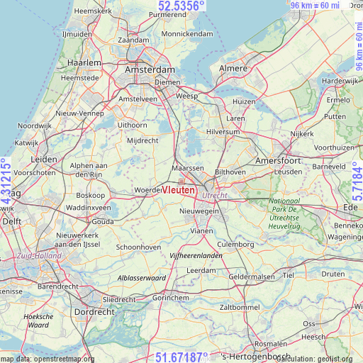
Vleuten GPS coordinates[2]
52° 6' 20.988" North, 5° 0' 55.008" East
| Map corner | latitude | longitude |
|---|---|---|
| Upper-left | 52.5356°, | 4.31215° |
| Center: | 52.10583°, | 5.01528° |
| Lower-right: | 51.67187°, | 5.7184° |
| Map W x H: | 96×96 km | = 59.7×59.7mi |
| max Lat: | 53.48025° ⇑45.1% North |
| Vleuten: | 52.10583° |
| min Lat: | ⇓54.9% South 50.76917° |
| min Long | Vleuten | max Long |
| 3.38611° | 5.01528° | 7.16528° |
| W 26.9%⇐ | ⇒73.1% E |
Elevation
Elevation of Vleuten is 1 m = 3 ft, and this is 14 m = 46 ft below average elevation for this country.
| Max E: |
203 m = 666 ft | 83.9% |
| Avg. | 15 m = 49 ft | |
| Vleuten | 1 m = 3 ft | |
Min E: |
-6 m = -20 ft | 16.1% |
See also: Netherlands elevation on elevation.city.
Geographical zone
Vleuten is located in North temperate zone (between Tropic of Cancer and the Arctic Circle). Distance of this North polar circle is 1607.5 km =998.9 mi to North.| Distance of | km | miles | from Vleuten |
|---|---|---|---|
| North Pole | 4213.4 | 2618.1 | to North |
| Arctic Circle | 1607.5 | 998.9 | to North |
| Tropic Cancer | 3187.7 | 1980.7 | to South |
| Equator | 5793.6 | 3600 | to South |


Nearby cities:
15 places around Vleuten: (largest is in red/bold)
• Breukelen
7.7 km =4.8 mi,  352°
352°
• Groenekan
9.6 km =6 mi,  78°
78°
• Heeswijk
6.8 km =4.2 mi,  207°
207°
• Linschoten
8.4 km =5.2 mi,  234°
234°
• Lunetten
9.5 km =5.9 mi,  120°
120°
• Maarssen
4.1 km =2.5 mi,  25°
25°
• Maarsseveen
5.6 km =3.5 mi,  45°
45°
• Montfoort
7.9 km =4.9 mi, 212°
• Nieuwegein
9.6 km =6 mi,  152°
152°
• Oog in Al
5.2 km =3.2 mi,  114°
114°
• Oud-Zuilen
4.3 km =2.7 mi,  56°
56°
• Spechtenkamp
3.7 km =2.3 mi,  2°
2°
• Utrecht
7.5 km =4.7 mi,  102°
102°
• Veldhuizen
3.4 km =2.1 mi,  183°
183°
• Woerden
9.3 km =5.8 mi,  255°
255°
Sources, notices
• [Note1] Compared only with cities in Netherlands existing in our database
• [Src1] Map data: © OpenStreetMap contributors (CC-BY-SA)
• [Src2] Other city data from geonames.org with taken over terms of usage.
• [Src3] Geographical zone / Annual Mean Temperature by Robert A. Rohde @ Wikipedia
