Heeswijk geodata
Heeswijk (Utrecht) is a populated place; located in Netherlands in Europe/Amsterdam (GMT+2) time zone. With population of 665 people, there are 1661 cities with bigger population in this country. Compared to other cities in Netherlands, 51.8% of cities are located further ↓South; 74.3% of cities are located further →East and 83.9% of cities have higher elevation than Heeswijk. Note1


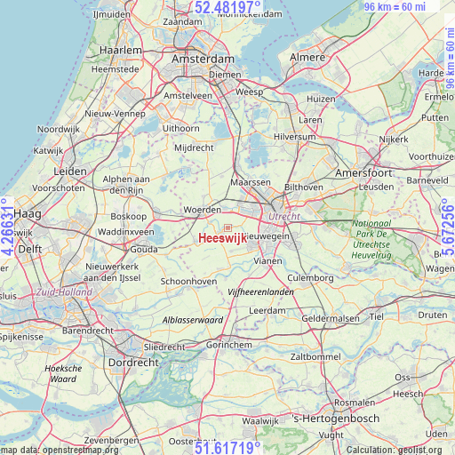
Heeswijk GPS coordinates[2]
52° 3' 6.012" North, 4° 58' 9.984" East
| Map corner | latitude | longitude |
|---|---|---|
| Upper-left | 52.48197°, | 4.26631° |
| Center: | 52.05167°, | 4.96944° |
| Lower-right: | 51.61719°, | 5.67256° |
| Map W x H: | 96.2×96.2 km | = 59.8×59.8mi |
| max Lat: | 53.48025° ⇑48.2% North |
| Heeswijk: | 52.05167° |
| min Lat: | ⇓51.8% South 50.76917° |
| min Long | Heeswijk | max Long |
| 3.38611° | 4.96944° | 7.16528° |
| W 25.7%⇐ | ⇒74.3% E |
Elevation
Elevation of Heeswijk is 1 m = 3 ft, and this is 14 m = 46 ft below average elevation for this country.
| Max E: |
203 m = 666 ft | 83.9% |
| Avg. | 15 m = 49 ft | |
| Heeswijk | 1 m = 3 ft | |
Min E: |
-6 m = -20 ft | 16.1% |
See also: Netherlands elevation on elevation.city.
Geographical zone
Heeswijk is located in North temperate zone (between Tropic of Cancer and the Arctic Circle). Distance of this North polar circle is 1613.6 km =1002.6 mi to North.| Distance of | km | miles | from Heeswijk |
|---|---|---|---|
| North Pole | 4219.5 | 2621.9 | to North |
| Arctic Circle | 1613.6 | 1002.6 | to North |
| Tropic Cancer | 3181.7 | 1977 | to South |
| Equator | 5787.6 | 3596.2 | to South |


Nearby cities:
15 places around Heeswijk: (largest is in red/bold)
• Graaf
7.9 km =4.9 mi,  175°
175°
• IJsselstein
6.1 km =3.8 mi,  124°
124°
• Linschoten
3.9 km =2.4 mi,  288°
288°
• Lopik
8.9 km =5.5 mi,  189°
189°
• Lopikerkapel
8.5 km =5.3 mi,  141°
141°
• Montfoort
1.3 km =0.8 mi,  240°
240°
• Nieuwegein
8 km =5 mi,  108°
108°
• Oog in Al
8.8 km =5.5 mi,  63°
63°
• Oudewater
7.5 km =4.7 mi,  246°
246°
• Snelrewaard
5 km =3.1 mi, 237°
• Uitweg
8.3 km =5.2 mi,  157°
157°
• Veldhuizen
3.9 km =2.4 mi,  48°
48°
• Vleuten
6.8 km =4.2 mi,  27°
27°
• Vreeswijk
9.6 km =6 mi, 118°
• Woerden
7 km =4.3 mi,  302°
302°
Sources, notices
• [Note1] Compared only with cities in Netherlands existing in our database
• [Src1] Map data: © OpenStreetMap contributors (CC-BY-SA)
• [Src2] Other city data from geonames.org with taken over terms of usage.
• [Src3] Geographical zone / Annual Mean Temperature by Robert A. Rohde @ Wikipedia
