Nijkerkerveen geodata
Nijkerkerveen (Gelderland) is a populated place; located in Netherlands in Europe/Amsterdam (GMT+2) time zone. With population of 2,905 people, there are 772 cities with bigger population in this country. Compared to other cities in Netherlands, 59.8% of cities are located further ↓South; 58.1% of cities are located further →East and 58.8% of cities have higher elevation than Nijkerkerveen. Note1


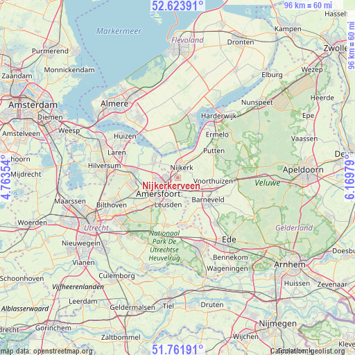
Nijkerkerveen GPS coordinates[2]
52° 11' 42" North, 5° 28' 0.012" East
| Map corner | latitude | longitude |
|---|---|---|
| Upper-left | 52.62391°, | 4.76354° |
| Center: | 52.195°, | 5.46667° |
| Lower-right: | 51.76191°, | 6.16979° |
| Map W x H: | 95.8×95.8 km | = 59.5×59.5mi |
| max Lat: | 53.48025° ⇑40.2% North |
| Nijkerkerveen: | 52.195° |
| min Lat: | ⇓59.8% South 50.76917° |
| min Long | Nijkerkerveen | max Long |
| 3.38611° | 5.46667° | 7.16528° |
| W 41.9%⇐ | ⇒58.1% E |
Elevation
Elevation of Nijkerkerveen is 4 m = 13 ft, and this is 11 m = 36 ft below average elevation for this country.
| Max E: |
203 m = 666 ft | 58.8% |
| Avg. | 15 m = 49 ft | |
| Nijkerkerveen | 4 m = 13 ft | |
Min E: |
-6 m = -20 ft | 41.2% |
See also: Netherlands elevation on elevation.city.
Geographical zone
Nijkerkerveen is located in North temperate zone (between Tropic of Cancer and the Arctic Circle). Distance of this North polar circle is 1597.6 km =992.7 mi to North.| Distance of | km | miles | from Nijkerkerveen |
|---|---|---|---|
| North Pole | 4203.5 | 2611.9 | to North |
| Arctic Circle | 1597.6 | 992.7 | to North |
| Tropic Cancer | 3197.6 | 1986.9 | to South |
| Equator | 5803.5 | 3606.1 | to South |


Nearby cities:
15 places around Nijkerkerveen: (largest is in red/bold)
• Amersfoort
7 km =4.3 mi,  230°
230°
• Appel
5.1 km =3.2 mi,  99°
99°
• Barneveld
10.1 km =6.3 mi,  127°
127°
• Bunschoten
8 km =5 mi,  311°
311°
• Corlaer
2.4 km =1.5 mi,  357°
357°
• Doornsteeg
4 km =2.5 mi,  347°
347°
• Hoogland
6.5 km =4 mi,  257°
257°
• Langenoord
5.9 km =3.7 mi, 262°
• Leusden
7.3 km =4.5 mi,  198°
198°
• Nijkerk
3.1 km =1.9 mi,  25°
25°
• Randenbroek
6.8 km =4.2 mi,  220°
220°
• Spakenburg
9.2 km =5.7 mi, 311°
• Terschuur
4.8 km =3 mi, 134°
• Voorthuizen
9.5 km =5.9 mi, 95°
• Zwartebroek
3.1 km =1.9 mi,  124°
124°
Sources, notices
• [Note1] Compared only with cities in Netherlands existing in our database
• [Src1] Map data: © OpenStreetMap contributors (CC-BY-SA)
• [Src2] Other city data from geonames.org with taken over terms of usage.
• [Src3] Geographical zone / Annual Mean Temperature by Robert A. Rohde @ Wikipedia
