Vikøyri geodata
Vikøyri (Sogn og Fjordane) is a seat of a second-order administrative division; located in Norway in Europe/Oslo (GMT+2) time zone. In our database, there are 488 cities with bigger population. Compared to other cities in Norway, 56% of cities are located further ↓South; 77.4% of cities are located further →East and 75.8% of cities have higher elevation than Vikøyri. Note1


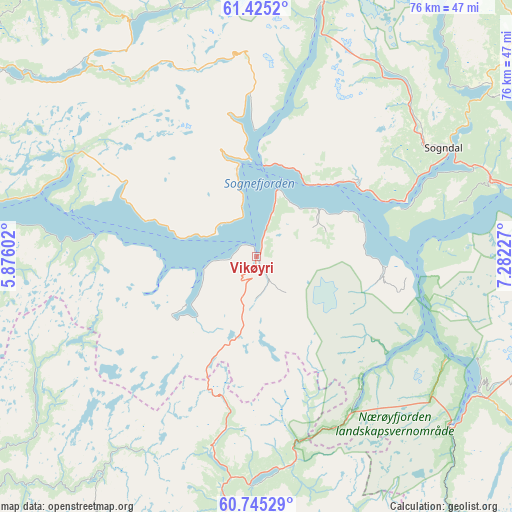
Vikøyri GPS coordinates[2]
61° 5' 13.452" North, 6° 34' 44.904" East
| Map corner | latitude | longitude |
|---|---|---|
| Upper-left | 61.4252°, | 5.87602° |
| Center: | 61.08707°, | 6.57914° |
| Lower-right: | 60.74529°, | 7.28227° |
| Map W x H: | 75.6×75.6 km | = 47×47mi |
| max Lat: | 71.04137° ⇑44% North |
| Vikøyri: | 61.08707° |
| min Lat: | ⇓56% South 58.0274° |
| min Long | Vikøyri | max Long |
| 4.71485° | 6.57914° | 31.11066° |
| W 22.6%⇐ | ⇒77.4% E |
Elevation
Elevation of Vikøyri is 13 m = 43 ft, and this is 91.2 m = 299 ft below average elevation for this country.
| Max E: |
897 m = 2943 ft | 75.8% |
| Avg. | 104.2 m = 342 ft | |
| Vikøyri | 13 m = 43 ft | |
Min E: |
1 m = 3 ft | 24.2% |
See also: Norway elevation on elevation.city.
Geographical zone
Vikøyri is located in North temperate zone (between Tropic of Cancer and the Arctic Circle). Distance of this North polar circle is 608.9 km =378.4 mi to North.| Distance of | km | miles | from Vikøyri |
|---|---|---|---|
| North Pole | 3214.8 | 1997.6 | to North |
| Arctic Circle | 608.9 | 378.4 | to North |
| Tropic Cancer | 4186.3 | 2601.2 | to South |
| Equator | 6792.2 | 4220.5 | to South |


Nearby cities:
15 places around Vikøyri: (largest is in red/bold)
• Aurlandsvangen
38.5 km =23.9 mi,  121°
121°
• Balestrand
13.8 km =8.6 mi,  350°
350°
• Førde
56 km =34.8 mi,  316°
316°
• Gaupne
52.1 km =32.4 mi,  47°
47°
• Hermansverk
18.1 km =11.2 mi, 53°
• Høyanger
30.6 km =19 mi,  299°
299°
• Kaupanger
37.2 km =23.1 mi,  73°
73°
• Lærdalsøyri
48.1 km =29.9 mi,  88°
88°
• Mo
51.5 km =32 mi,  234°
234°
• Sande
49.5 km =30.8 mi, 302°
• Skei
54.1 km =33.6 mi, 354°
• Sogndal
31.9 km =19.8 mi,  60°
60°
• Sogndalsfjøra
32 km =19.9 mi, 61°
• Vik
3.3 km =2.1 mi,  180°
180°
• Voss
51.7 km =32.1 mi,  189°
189°
Sources, notices
• [Note1] Compared only with cities in Norway existing in our database
• [Src1] Map data: © OpenStreetMap contributors (CC-BY-SA)
• [Src2] Other city data from geonames.org with taken over terms of usage.
• [Src3] Geographical zone / Annual Mean Temperature by Robert A. Rohde @ Wikipedia
