Høyanger geodata
Høyanger (Sogn og Fjordane) is a seat of a second-order administrative division; located in Norway in Europe/Oslo (GMT+2) time zone. With population of 2,266 people, there are 176 cities with bigger population in this country. Compared to other cities in Norway, 58.1% of cities are located further ↓South; 82.1% of cities are located further →East and 93.7% of cities have lower elevation than Høyanger. Note1


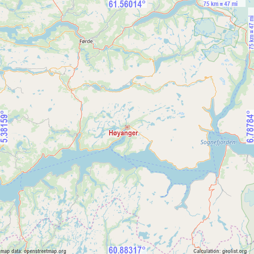
Høyanger GPS coordinates[2]
61° 13' 24.528" North, 6° 5' 4.956" East
| Map corner | latitude | longitude |
|---|---|---|
| Upper-left | 61.56014°, | 5.38159° |
| Center: | 61.22348°, | 6.08471° |
| Lower-right: | 60.88317°, | 6.78784° |
| Map W x H: | 75.3×75.3 km | = 46.8×46.8mi |
| max Lat: | 71.04137° ⇑41.9% North |
| Høyanger: | 61.22348° |
| min Lat: | ⇓58.1% South 58.0274° |
| min Long | Høyanger | max Long |
| 4.71485° | 6.08471° | 31.11066° |
| W 17.9%⇐ | ⇒82.1% E |
Elevation
Elevation of Høyanger is 400 m = 1312 ft, and this is 295.8 m = 970 ft above average elevation for this country.
| Max E: |
897 m = 2943 ft | 6.3% |
| Høyanger | 400 m 1312 ft | |
| Avg. | 104.2 m = 342 ft | |
Min E: |
1 m = 3 ft | 93.7% |
See also: Norway elevation on elevation.city.
Geographical zone
Høyanger is located in North temperate zone (between Tropic of Cancer and the Arctic Circle). Distance of this North polar circle is 593.8 km =369 mi to North.| Distance of | km | miles | from Høyanger |
|---|---|---|---|
| North Pole | 3199.6 | 1988.1 | to North |
| Arctic Circle | 593.8 | 369 | to North |
| Tropic Cancer | 4201.5 | 2610.7 | to South |
| Equator | 6807.4 | 4229.9 | to South |


Nearby cities:
15 places around Høyanger: (largest is in red/bold)
• Askvoll
56.3 km =35 mi,  284°
284°
• Balestrand
24.2 km =15 mi,  93°
93°
• Dale
39.7 km =24.7 mi,  293°
293°
• Eivindvik
60.6 km =37.7 mi,  243°
243°
• Førde
28.2 km =17.5 mi,  334°
334°
• Hermansverk
41.2 km =25.6 mi,  96°
96°
• Hyllestad
42.6 km =26.5 mi,  262°
262°
• Mo
47.7 km =29.6 mi,  198°
198°
• Naustdal
37.5 km =23.3 mi, 328°
• Sande
19 km =11.8 mi,  306°
306°
• Skei
44 km =27.3 mi,  28°
28°
• Sogndal
54.2 km =33.7 mi, 89°
• Sogndalsfjøra
54.4 km =33.8 mi, 89°
• Vik
32.3 km =20.1 mi,  124°
124°
• Vikøyri
30.6 km =19 mi, 119°
Sources, notices
• [Note1] Compared only with cities in Norway existing in our database
• [Src1] Map data: © OpenStreetMap contributors (CC-BY-SA)
• [Src2] Other city data from geonames.org with taken over terms of usage.
• [Src3] Geographical zone / Annual Mean Temperature by Robert A. Rohde @ Wikipedia
