Tingvatn geodata
Tingvatn (Vest-Agder) is a seat of a second-order administrative division; located in Norway in Europe/Oslo (GMT+2) time zone. In our database, there are 488 cities with bigger population. Compared to other cities in Norway, 96% of cities are located further ↑North; 71.8% of cities are located further →East and 79.9% of cities have lower elevation than Tingvatn. Note1


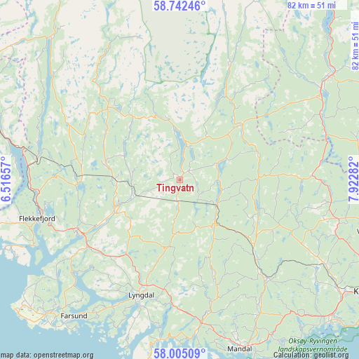
Tingvatn GPS coordinates[2]
58° 22' 32.52" North, 7° 13' 10.92" East
| Map corner | latitude | longitude |
|---|---|---|
| Upper-left | 58.74246°, | 6.51657° |
| Center: | 58.3757°, | 7.2197° |
| Lower-right: | 58.00509°, | 7.92282° |
| Map W x H: | 82×82 km | = 51×51mi |
| max Lat: | 71.04137° ⇑96% North |
| Tingvatn: | 58.3757° |
| min Lat: | ⇓4% South 58.0274° |
| min Long | Tingvatn | max Long |
| 4.71485° | 7.2197° | 31.11066° |
| W 28.2%⇐ | ⇒71.8% E |
Elevation
Elevation of Tingvatn is 168 m = 551 ft, and this is 63.8 m = 209 ft above average elevation for this country.
| Max E: |
897 m = 2943 ft | 20.1% |
| Tingvatn | 168 m 551 ft | |
| Avg. | 104.2 m = 342 ft | |
Min E: |
1 m = 3 ft | 79.9% |
See also: Norway elevation on elevation.city.
Geographical zone
Tingvatn is located in North temperate zone (between Tropic of Cancer and the Arctic Circle). Distance of this North polar circle is 910.4 km =565.7 mi to North.| Distance of | km | miles | from Tingvatn |
|---|---|---|---|
| North Pole | 3516.3 | 2184.9 | to North |
| Arctic Circle | 910.4 | 565.7 | to North |
| Tropic Cancer | 3884.9 | 2414 | to South |
| Equator | 6490.8 | 4033.2 | to South |


Nearby cities:
15 places around Tingvatn: (largest is in red/bold)
• Birketveit
41.6 km =25.8 mi,  77°
77°
• Evje
41.2 km =25.6 mi,  55°
55°
• Farsund
39.6 km =24.6 mi,  217°
217°
• Flekkefjord
33.8 km =21 mi,  254°
254°
• Helland
27 km =16.8 mi,  138°
138°
• Konsmo
12.8 km =8 mi, 141°
• Kyrkjebygda
28.9 km =18 mi,  22°
22°
• Liknes
16.6 km =10.3 mi,  244°
244°
• Lyngdal
27.9 km =17.3 mi,  198°
198°
• Mandal
41.1 km =25.5 mi,  160°
160°
• Moi
39.9 km =24.8 mi,  283°
283°
• Sira
32.9 km =20.4 mi, 278°
• Spangereid
36.9 km =22.9 mi,  187°
187°
• Tonstad
43.2 km =26.8 mi,  317°
317°
• Vigeland
32.8 km =20.4 mi,  171°
171°
Sources, notices
• [Note1] Compared only with cities in Norway existing in our database
• [Src1] Map data: © OpenStreetMap contributors (CC-BY-SA)
• [Src2] Other city data from geonames.org with taken over terms of usage.
• [Src3] Geographical zone / Annual Mean Temperature by Robert A. Rohde @ Wikipedia
