Birketveit geodata
Birketveit (Aust-Agder) is a seat of a second-order administrative division; located in Norway in Europe/Oslo (GMT+2) time zone. In our database, there are 488 cities with bigger population. Compared to other cities in Norway, 95.1% of cities are located further ↑North; 67.7% of cities are located further →East and 87.7% of cities have lower elevation than Birketveit. Note1


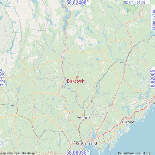
Birketveit GPS coordinates[2]
58° 27' 32.724" North, 7° 55' 0.912" East
| Map corner | latitude | longitude |
|---|---|---|
| Upper-left | 58.82498°, | 7.2138° |
| Center: | 58.45909°, | 7.91692° |
| Lower-right: | 58.08935°, | 8.62005° |
| Map W x H: | 81.8×81.8 km | = 50.8×50.8mi |
| max Lat: | 71.04137° ⇑95.1% North |
| Birketveit: | 58.45909° |
| min Lat: | ⇓4.9% South 58.0274° |
| min Long | Birketveit | max Long |
| 4.71485° | 7.91692° | 31.11066° |
| W 32.3%⇐ | ⇒67.7% E |
Elevation
Elevation of Birketveit is 233 m = 764 ft, and this is 128.8 m = 423 ft above average elevation for this country.
| Max E: |
897 m = 2943 ft | 12.3% |
| Birketveit | 233 m 764 ft | |
| Avg. | 104.2 m = 342 ft | |
Min E: |
1 m = 3 ft | 87.7% |
See also: Norway elevation on elevation.city.
Geographical zone
Birketveit is located in North temperate zone (between Tropic of Cancer and the Arctic Circle). Distance of this North polar circle is 901.1 km =559.9 mi to North.| Distance of | km | miles | from Birketveit |
|---|---|---|---|
| North Pole | 3507 | 2179.1 | to North |
| Arctic Circle | 901.1 | 559.9 | to North |
| Tropic Cancer | 3894.1 | 2419.7 | to South |
| Equator | 6500 | 4038.9 | to South |


Nearby cities:
15 places around Birketveit: (largest is in red/bold)
• Birkeland
23.3 km =14.5 mi,  127°
127°
• Evje
15.5 km =9.6 mi,  334°
334°
• Helland
37.4 km =23.2 mi,  217°
217°
• Jordtveit
40.2 km =25 mi,  121°
121°
• Justvik
29.9 km =18.6 mi,  167°
167°
• Konsmo
38 km =23.6 mi,  239°
239°
• Kristiansand
35 km =21.7 mi, 172°
• Kyrkjebygda
34 km =21.1 mi,  300°
300°
• Lillesand
35.6 km =22.1 mi, 131°
• Nodeland
34.1 km =21.2 mi,  187°
187°
• Strai
30 km =18.6 mi,  178°
178°
• Søgne
41.4 km =25.7 mi, 190°
• Tangvall
40.6 km =25.2 mi, 188°
• Tveit
27.8 km =17.3 mi,  154°
154°
• Vennesla
21.4 km =13.3 mi, 171°
Sources, notices
• [Note1] Compared only with cities in Norway existing in our database
• [Src1] Map data: © OpenStreetMap contributors (CC-BY-SA)
• [Src2] Other city data from geonames.org with taken over terms of usage.
• [Src3] Geographical zone / Annual Mean Temperature by Robert A. Rohde @ Wikipedia
