Straume geodata
Straume (Nordland) is a seat of a second-order administrative division; located in Norway in Europe/Oslo (GMT+2) time zone. With population of 291 people, there are 484 cities with bigger population in this country. Compared to other cities in Norway, 92.2% of cities are located further ↓South; 88.4% of cities are located further ←West and 77.8% of cities have higher elevation than Straume. Note1


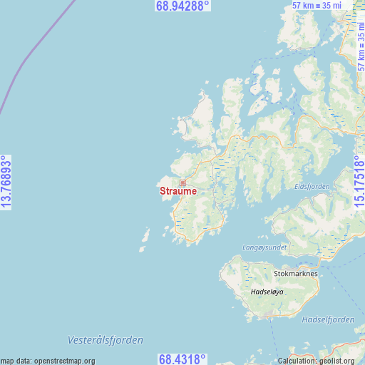
Straume GPS coordinates[2]
68° 41' 19.68" North, 14° 28' 19.38" East
| Map corner | latitude | longitude |
|---|---|---|
| Upper-left | 68.94288°, | 13.76893° |
| Center: | 68.6888°, | 14.47205° |
| Lower-right: | 68.4318°, | 15.17518° |
| Map W x H: | 56.8×56.8 km | = 35.3×35.3mi |
| max Lat: | 71.04137° ⇑7.8% North |
| Straume: | 68.6888° |
| min Lat: | ⇓92.2% South 58.0274° |
| min Long | Straume | max Long |
| 4.71485° | 14.47205° | 31.11066° |
| W 88.4%⇐ | ⇒11.6% E |
Elevation
Elevation of Straume is 12 m = 39 ft, and this is 92.2 m = 302 ft below average elevation for this country.
| Max E: |
897 m = 2943 ft | 77.8% |
| Avg. | 104.2 m = 342 ft | |
| Straume | 12 m = 39 ft | |
Min E: |
1 m = 3 ft | 22.2% |
See also: Norway elevation on elevation.city.
Geographical zone
Straume is located in North Frigid zone (between North Pole and Arctic Circle). Distance of this North polar circle is 236.3 km =146.8 mi to South.| Distance of | km | miles | from Straume |
|---|---|---|---|
| North Pole | 2369.6 | 1472.4 | to North |
| Arctic Circle | 236.3 | 146.8 | to South |
| Tropic Cancer | 5031.6 | 3126.5 | to South |
| Equator | 7637.5 | 4745.7 | to South |


Nearby cities:
15 places around Straume: (largest is in red/bold)
• Borkenes
69.2 km =43 mi,  82°
82°
• Evjen
55.8 km =34.7 mi,  212°
212°
• Gravdal
73.7 km =45.8 mi, 210°
• Kabelvåg
53.2 km =33.1 mi,  179°
179°
• Leknes
69.7 km =43.3 mi, 210°
• Lødingen
69.1 km =42.9 mi,  116°
116°
• Melbu
24.6 km =15.3 mi,  147°
147°
• Myre
34.9 km =21.7 mi,  44°
44°
• Myre
75.6 km =47 mi,  52°
52°
• Sigerfjord
42.3 km =26.3 mi,  96°
96°
• Sortland
37.7 km =23.4 mi,  88°
88°
• Stamsund
67.1 km =41.7 mi,  202°
202°
• Stokmarknes
22.5 km =14 mi,  127°
127°
• Strand
39.5 km =24.5 mi, 88°
• Svolvær
50.7 km =31.5 mi, 175°
Sources, notices
• [Note1] Compared only with cities in Norway existing in our database
• [Src1] Map data: © OpenStreetMap contributors (CC-BY-SA)
• [Src2] Other city data from geonames.org with taken over terms of usage.
• [Src3] Geographical zone / Annual Mean Temperature by Robert A. Rohde @ Wikipedia
