Rindal geodata
Rindal (Trøndelag) is a seat of a second-order administrative division; located in Norway in Europe/Oslo (GMT+2) time zone. With population of 649 people, there are 397 cities with bigger population in this country. Compared to other cities in Norway, 73.4% of cities are located further ↓South; 58.2% of cities are located further →East and 77.4% of cities have lower elevation than Rindal. Note1


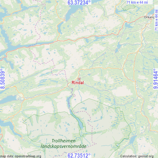
Rindal GPS coordinates[2]
63° 3' 19.692" North, 9° 12' 41.436" East
| Map corner | latitude | longitude |
|---|---|---|
| Upper-left | 63.37234°, | 8.50839° |
| Center: | 63.05547°, | 9.21151° |
| Lower-right: | 62.73512°, | 9.91464° |
| Map W x H: | 70.9×70.8 km | = 44.1×44mi |
| max Lat: | 71.04137° ⇑26.6% North |
| Rindal: | 63.05547° |
| min Lat: | ⇓73.4% South 58.0274° |
| min Long | Rindal | max Long |
| 4.71485° | 9.21151° | 31.11066° |
| W 41.8%⇐ | ⇒58.2% E |
Elevation
Elevation of Rindal is 160 m = 525 ft, and this is 55.8 m = 183 ft above average elevation for this country.
| Max E: |
897 m = 2943 ft | 22.6% |
| Rindal | 160 m 525 ft | |
| Avg. | 104.2 m = 342 ft | |
Min E: |
1 m = 3 ft | 77.4% |
See also: Norway elevation on elevation.city.
Geographical zone
Rindal is located in North temperate zone (between Tropic of Cancer and the Arctic Circle). Distance of this North polar circle is 390.1 km =242.4 mi to North.| Distance of | km | miles | from Rindal |
|---|---|---|---|
| North Pole | 2996 | 1861.6 | to North |
| Arctic Circle | 390.1 | 242.4 | to North |
| Tropic Cancer | 4405.2 | 2737.3 | to South |
| Equator | 7011.1 | 4356.5 | to South |


Nearby cities:
15 places around Rindal: (largest is in red/bold)
• Aure
41.6 km =25.8 mi,  304°
304°
• Berkåk
47.9 km =29.8 mi,  122°
122°
• Børsa
52.5 km =32.6 mi,  54°
54°
• Grøa
52 km =32.3 mi,  208°
208°
• Hovin
51.3 km =31.9 mi,  83°
83°
• Krokstadøra
41.1 km =25.5 mi,  20°
20°
• Kyrksæterøra
26.9 km =16.7 mi,  346°
346°
• Liabøen
45.7 km =28.4 mi,  279°
279°
• Løkken Verk
26 km =16.2 mi,  72°
72°
• Meldal
25.3 km =15.7 mi,  92°
92°
• Orkanger
42.5 km =26.4 mi, 48°
• Skaun
47.5 km =29.5 mi,  62°
62°
• Sunndalsøra
53.6 km =33.3 mi,  217°
217°
• Surnadal
26.2 km =16.3 mi,  249°
249°
• Tingvoll
53.2 km =33.1 mi, 252°
Sources, notices
• [Note1] Compared only with cities in Norway existing in our database
• [Src1] Map data: © OpenStreetMap contributors (CC-BY-SA)
• [Src2] Other city data from geonames.org with taken over terms of usage.
• [Src3] Geographical zone / Annual Mean Temperature by Robert A. Rohde @ Wikipedia
