Khudi geodata
Khudi (Western Region) is a seat of a fourth-order administrative division; located in Nepal in Asia/Kathmandu (GMT+5.75) time zone. In our database, there are 62 cities with bigger population. Compared to other cities in Nepal, 71.6% of cities are located further ↓South; 51.4% of cities are located further →East and 56.8% of cities have higher elevation than Khudi. Note1
Administrative division(s):
- Level 1: Western Region
- Level 2: Gandakī Zone
- Level 3: Lamjung
- Level 4: Khudi


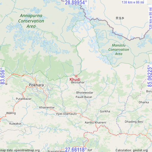
Khudi GPS coordinates[2]
28° 16' 55.776" North, 84° 21' 32.832" East
| Map corner | latitude | longitude |
|---|---|---|
| Upper-left | 28.89954°, | 83.656° |
| Center: | 28.28216°, | 84.35912° |
| Lower-right: | 27.66118°, | 85.06225° |
| Map W x H: | 137.7×137.7 km | = 85.6×85.6mi |
| max Lat: | 30.04651° ⇑28.4% North |
| Khudi: | 28.28216° |
| min Lat: | ⇓71.6% South 26.45505° |
| min Long | Khudi | max Long |
| 80.17715° | 84.35912° | 88.09436° |
| W 48.6%⇐ | ⇒51.4% E |
Elevation
Elevation of Khudi is 860 m = 2822 ft, and this is 315.2 m = 1034 ft below average elevation for this country.
| Max E: |
5251 m = 17228 ft | 56.8% |
| Avg. | 1175.2 m = 3856 ft | |
| Khudi | 860 m = 2822 ft | |
Min E: |
72 m = 236 ft | 43.2% |
See also: Nepal elevation on elevation.city.
Geographical zone
Khudi is located in North temperate zone (between Tropic of Cancer and the Arctic Circle). Distance of this Northern Tropic circle is 538.8 km =334.8 mi to South.| Distance of | km | miles | from Khudi |
|---|---|---|---|
| North Pole | 6862.4 | 4264.1 | to North |
| Arctic Circle | 4256.5 | 2644.9 | to North |
| Tropic Cancer | 538.8 | 334.8 | to South |
| Equator | 3144.7 | 1954 | to South |


Nearby cities:
15 places around Khudi: (largest is in red/bold)
• Bharatpur
67.7 km =42.1 mi,  173°
173°
• Bhattarai Danda
60.9 km =37.8 mi,  223°
223°
• Butwāl
110.4 km =68.6 mi,  234°
234°
• Bāglung
75.3 km =46.8 mi,  269°
269°
• Chame
32 km =19.9 mi,  340°
340°
• Chitre
67.3 km =41.8 mi,  283°
283°
• Dihi
61.9 km =38.5 mi, 223°
• Jomsom
82.7 km =51.4 mi,  312°
312°
• Lamjung
8 km =5 mi,  176°
176°
• Nawal
47.8 km =29.7 mi,  328°
328°
• Pisang
42.4 km =26.3 mi, 330°
• Pokhara
38.3 km =23.8 mi, 267°
• Sundar Basti
61 km =37.9 mi, 223°
• Tānsen
92.1 km =57.2 mi,  239°
239°
• Wāliṅ
67.5 km =41.9 mi, 240°
Sources, notices
• [Note1] Compared only with cities in Nepal existing in our database
• [Src1] Map data: © OpenStreetMap contributors (CC-BY-SA)
• [Src2] Other city data from geonames.org with taken over terms of usage.
• [Src3] Geographical zone / Annual Mean Temperature by Robert A. Rohde @ Wikipedia
