Tānsen geodata
Tānsen (Western Region) is a populated place; located in Nepal in Asia/Kathmandu (GMT+5.75) time zone. With population of 23,693 people, there are 29 cities with bigger population in this country. Compared to other cities in Nepal, 50% of cities are located further ↓South; 67.6% of cities are located further →East and 58.1% of cities have lower elevation than Tānsen. Note1


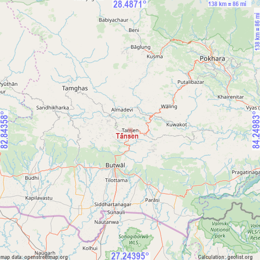
Tānsen GPS coordinates[2]
27° 52' 2.316" North, 83° 32' 48.12" East
| Map corner | latitude | longitude |
|---|---|---|
| Upper-left | 28.4871°, | 82.84358° |
| Center: | 27.86731°, | 83.5467° |
| Lower-right: | 27.24395°, | 84.24983° |
| Map W x H: | 138.2×138.2 km | = 85.9×85.9mi |
| max Lat: | 30.04651° ⇑50% North |
| Tānsen: | 27.86731° |
| min Lat: | ⇓50% South 26.45505° |
| min Long | Tānsen | max Long |
| 80.17715° | 83.5467° | 88.09436° |
| W 32.4%⇐ | ⇒67.6% E |
Elevation
Elevation of Tānsen is 1303 m = 4275 ft, and this is 127.8 m = 419 ft above average elevation for this country.
| Max E: |
5251 m = 17228 ft | 41.9% |
| Tānsen | 1303 m 4275 ft | |
| Avg. | 1175.2 m = 3856 ft | |
Min E: |
72 m = 236 ft | 58.1% |
See also: Nepal elevation on elevation.city.
Geographical zone
Tānsen is located in North temperate zone (between Tropic of Cancer and the Arctic Circle). Distance of this Northern Tropic circle is 492.6 km =306.1 mi to South.| Distance of | km | miles | from Tānsen |
|---|---|---|---|
| North Pole | 6908.5 | 4292.7 | to North |
| Arctic Circle | 4302.6 | 2673.5 | to North |
| Tropic Cancer | 492.6 | 306.1 | to South |
| Equator | 3098.6 | 1925.4 | to South |


Nearby cities:
15 places around Tānsen: (largest is in red/bold)
• Bharatpur
90 km =55.9 mi,  103°
103°
• Bhattarai Danda
38 km =23.6 mi,  87°
87°
• Butwāl
20.9 km =13 mi,  207°
207°
• Bāglung
45.2 km =28.1 mi,  5°
5°
• Chitre
63.8 km =39.6 mi, 12°
• Dihi
37.4 km =23.2 mi, 88°
• Khudi
92.1 km =57.2 mi,  59°
59°
• Lamjung
88.8 km =55.2 mi, 64°
• Nawal
102.5 km =63.7 mi,  32°
32°
• Pisang
101.8 km =63.3 mi,  35°
35°
• Pokhara
60.7 km =37.7 mi, 42°
• Pyūthān
69.5 km =43.2 mi,  290°
290°
• Siddharthanagar
41.9 km =26 mi,  193°
193°
• Sundar Basti
38 km =23.6 mi, 87°
• Wāliṅ
24.6 km =15.3 mi, 58°
Sources, notices
• [Note1] Compared only with cities in Nepal existing in our database
• [Src1] Map data: © OpenStreetMap contributors (CC-BY-SA)
• [Src2] Other city data from geonames.org with taken over terms of usage.
• [Src3] Geographical zone / Annual Mean Temperature by Robert A. Rohde @ Wikipedia
