Janakpur geodata
Janakpur (Central Region) is a populated place; located in Nepal in Asia/Kathmandu (GMT+5.75) time zone. With population of 93,767 people, there are 7 cities with bigger population in this country. Compared to other cities in Nepal, 89.2% of cities are located further ↑North; 75.7% of cities are located further ←West and 93.2% of cities have higher elevation than Janakpur. Note1


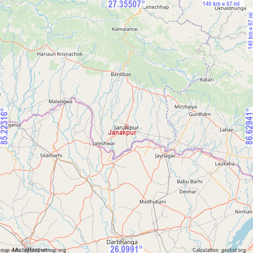
Janakpur GPS coordinates[2]
26° 43' 43.752" North, 85° 55' 34.608" East
| Map corner | latitude | longitude |
|---|---|---|
| Upper-left | 27.35507°, | 85.22316° |
| Center: | 26.72882°, | 85.92628° |
| Lower-right: | 26.0991°, | 86.62941° |
| Map W x H: | 139.7×139.7 km | = 86.8×86.8mi |
| max Lat: | 30.04651° ⇑89.2% North |
| Janakpur: | 26.72882° |
| min Lat: | ⇓10.8% South 26.45505° |
| min Long | Janakpur | max Long |
| 80.17715° | 85.92628° | 88.09436° |
| W 75.7%⇐ | ⇒24.3% E |
Elevation
Elevation of Janakpur is 83 m = 272 ft, and this is 1092.2 m = 3583 ft below average elevation for this country.
| Max E: |
5251 m = 17228 ft | 93.2% |
| Avg. | 1175.2 m = 3856 ft | |
| Janakpur | 83 m = 272 ft | |
Min E: |
72 m = 236 ft | 6.8% |
See also: Janakpur elevation on elevation.city.
Geographical zone
Janakpur is located in North temperate zone (between Tropic of Cancer and the Arctic Circle). Distance of this Northern Tropic circle is 366 km =227.4 mi to South.| Distance of | km | miles | from Janakpur |
|---|---|---|---|
| North Pole | 7035.1 | 4371.4 | to North |
| Arctic Circle | 4429.2 | 2752.2 | to North |
| Tropic Cancer | 366 | 227.4 | to South |
| Equator | 2972 | 1846.7 | to South |


Nearby cities:
15 places around Janakpur: (largest is in red/bold)
• Banepā
108.1 km =67.2 mi,  338°
338°
• Birgañj
108.5 km =67.4 mi,  287°
287°
• Chhetrapa1
107 km =66.5 mi,  10°
10°
• Dhulikhel
106.3 km =66.1 mi, 339°
• Gaur
64.5 km =40.1 mi,  273°
273°
• Jaleshwar
15.3 km =9.5 mi,  234°
234°
• Lahān
55.3 km =34.4 mi,  90°
90°
• Malaṅgawā
39.1 km =24.3 mi, 291°
• Panauti
103.3 km =64.2 mi, 337°
• Panauti̇̄
103.5 km =64.3 mi, 336°
• Rājbirāj
84.3 km =52.4 mi,  104°
104°
• Rāmechhāp
68.3 km =42.4 mi, 13°
• Siraha
29.2 km =18.1 mi,  106°
106°
• Triyuga
77 km =47.8 mi,  84°
84°
• kankrabari Dovan
110.2 km =68.5 mi, 335°
Sources, notices
• [Note1] Compared only with cities in Nepal existing in our database
• [Src1] Map data: © OpenStreetMap contributors (CC-BY-SA)
• [Src2] Other city data from geonames.org with taken over terms of usage.
• [Src3] Geographical zone / Annual Mean Temperature by Robert A. Rohde @ Wikipedia
