Río Grande geodata
Río Grande (Ngöbe-Buglé) is a seat of a third-order administrative division; located in Panama in America/Panama (GMT-5) time zone. In our database, there are 694 cities with bigger population. Compared to other cities in Panama, 65% of cities are located further ↓South; 66.6% of cities are located further →East and 84.3% of cities have lower elevation than Río Grande. Note1


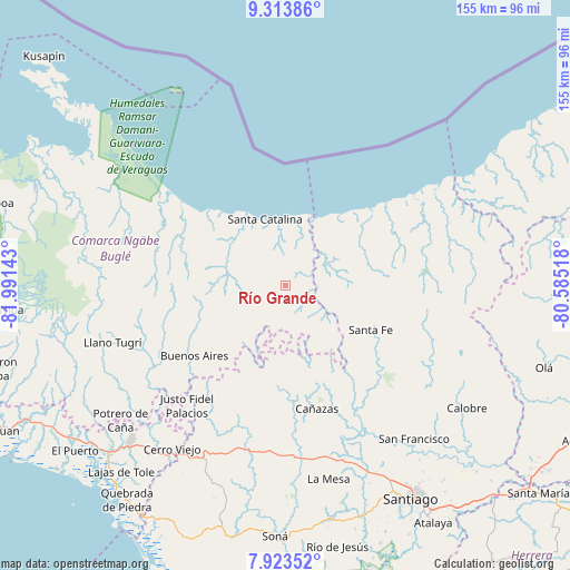
Río Grande GPS coordinates[2]
8° 37' 9.588" North, 81° 17' 17.88" West
| Map corner | latitude | longitude |
|---|---|---|
| Upper-left | 9.31386°, | -81.99143° |
| Center: | 8.61933°, | -81.2883° |
| Lower-right: | 7.92352°, | -80.58518° |
| Map W x H: | 154.6×154.6 km | = 96.1×96.1mi |
| max Lat: | 9.60898° ⇑35% North |
| Río Grande: | 8.61933° |
| min Lat: | ⇓65% South 7.26534° |
| min Long | Río Grande | max Long |
| -82.91275° | -81.2883° | -77.38965° |
| W 33.4%⇐ | ⇒66.6% E |
Elevation
Elevation of Río Grande is 329 m = 1079 ft, and this is 156.9 m = 515 ft above average elevation for this country.
| Max E: |
2103 m = 6900 ft | 15.7% |
| Río Grande | 329 m 1079 ft | |
| Avg. | 172.1 m = 565 ft | |
Min E: |
-1 m = -3 ft | 84.3% |
See also: Panama elevation on elevation.city.
Geographical zone
Río Grande is located in North Torrid zone (between Equator and Tropic of Cancer). Distance of Equator is 958.4 km =595.5 mi to South.| Distance of | km | miles | from Río Grande |
|---|---|---|---|
| North Pole | 9048.7 | 5622.6 | to North |
| Arctic Circle | 6442.8 | 4003.4 | to North |
| Tropic Cancer | 1647.5 | 1023.7 | to North |
| Equator | 958.4 | 595.5 | to South |


Nearby cities:
15 places around Río Grande: (largest is in red/bold)
• Agua de Salud
23.1 km =14.4 mi,  236°
236°
• Calovébora
20.5 km =12.7 mi,  24°
24°
• El Alto
30.2 km =18.8 mi,  113°
113°
• El Bale
30.2 km =18.8 mi,  195°
195°
• El Pantano
25.7 km =16 mi, 110°
• El Picador
27.1 km =16.8 mi,  172°
172°
• Guayabito
23.1 km =14.4 mi,  247°
247°
• Güibale
14.4 km =8.9 mi,  214°
214°
• Loma Yuca
16.9 km =10.5 mi,  310°
310°
• Los Corotúes
30 km =18.6 mi,  137°
137°
• Los Valles
21.4 km =13.3 mi,  152°
152°
• Paredón Arriba
20.4 km =12.7 mi, 150°
• Río Luís
10.7 km =6.6 mi,  48°
48°
• Santa Catalina
18.6 km =11.6 mi,  346°
346°
• Santa Fé
26.1 km =16.2 mi,  117°
117°
Sources, notices
• [Note1] Compared only with cities in Panama existing in our database
• [Src1] Map data: © OpenStreetMap contributors (CC-BY-SA)
• [Src2] Other city data from geonames.org with taken over terms of usage.
• [Src3] Geographical zone / Annual Mean Temperature by Robert A. Rohde @ Wikipedia
