El Picador geodata
El Picador (Veraguas) is a seat of a third-order administrative division; located in Panama in America/Panama (GMT-5) time zone. With population of 163 people, there are 623 cities with bigger population in this country. Compared to other cities in Panama, 59.8% of cities are located further ↑North; 66.1% of cities are located further →East and 91.3% of cities have lower elevation than El Picador. Note1


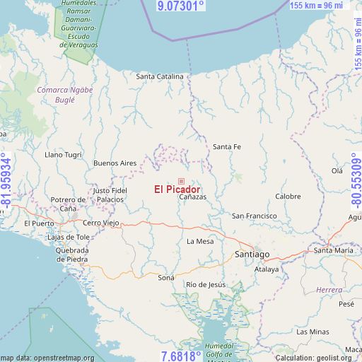
El Picador GPS coordinates[2]
8° 22' 40.908" North, 81° 15' 22.356" West
| Map corner | latitude | longitude |
|---|---|---|
| Upper-left | 9.07301°, | -81.95934° |
| Center: | 8.37803°, | -81.25621° |
| Lower-right: | 7.6818°, | -80.55309° |
| Map W x H: | 154.7×154.7 km | = 96.1×96.1mi |
| max Lat: | 9.60898° ⇑59.8% North |
| El Picador: | 8.37803° |
| min Lat: | ⇓40.2% South 7.26534° |
| min Long | El Picador | max Long |
| -82.91275° | -81.25621° | -77.38965° |
| W 33.9%⇐ | ⇒66.1% E |
Elevation
Elevation of El Picador is 467 m = 1532 ft, and this is 294.9 m = 968 ft above average elevation for this country.
| Max E: |
2103 m = 6900 ft | 8.7% |
| El Picador | 467 m 1532 ft | |
| Avg. | 172.1 m = 565 ft | |
Min E: |
-1 m = -3 ft | 91.3% |
See also: Panama elevation on elevation.city.
Geographical zone
El Picador is located in North Torrid zone (between Equator and Tropic of Cancer). Distance of Equator is 931.5 km =578.8 mi to South.| Distance of | km | miles | from El Picador |
|---|---|---|---|
| North Pole | 9075.5 | 5639.3 | to North |
| Arctic Circle | 6469.6 | 4020 | to North |
| Tropic Cancer | 1674.4 | 1040.4 | to North |
| Equator | 931.5 | 578.8 | to South |


Nearby cities:
15 places around El Picador: (largest is in red/bold)
• Bisvalles
22 km =13.7 mi,  169°
169°
• Boró
23.7 km =14.7 mi,  191°
191°
• Buenos Aires
25.4 km =15.8 mi,  279°
279°
• Calabacito
24 km =14.9 mi,  126°
126°
• Cañazas
8.1 km =5 mi,  142°
142°
• Cerro de Plata
15.9 km =9.9 mi,  230°
230°
• El Bale
11.8 km =7.3 mi,  258°
258°
• Güibale
19 km =11.8 mi,  321°
321°
• Los Corotúes
17.4 km =10.8 mi,  74°
74°
• Los Valles
10.1 km =6.3 mi,  38°
38°
• Paredón Arriba
11.3 km =7 mi, 36°
• San Bartolo
18.7 km =11.6 mi, 186°
• San José
16.4 km =10.2 mi,  267°
267°
• San Marcelo
15.8 km =9.8 mi, 137°
• Santa Fé
24.5 km =15.2 mi,  53°
53°
Sources, notices
• [Note1] Compared only with cities in Panama existing in our database
• [Src1] Map data: © OpenStreetMap contributors (CC-BY-SA)
• [Src2] Other city data from geonames.org with taken over terms of usage.
• [Src3] Geographical zone / Annual Mean Temperature by Robert A. Rohde @ Wikipedia
