Bisira geodata
Bisira (Ngöbe-Buglé) is a seat of a second-order administrative division; located in Panama in America/Panama (GMT-5) time zone. With population of 1,383 people, there are 172 cities with bigger population in this country. Compared to other cities in Panama, 79.1% of cities are located further ↓South; 76.3% of cities are located further →East and 86.3% of cities have higher elevation than Bisira. Note1


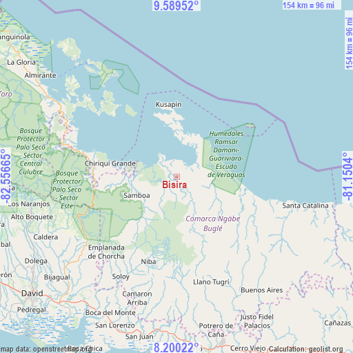
Bisira GPS coordinates[2]
8° 53' 43.908" North, 81° 51' 12.672" West
| Map corner | latitude | longitude |
|---|---|---|
| Upper-left | 9.58952°, | -82.55665° |
| Center: | 8.89553°, | -81.85352° |
| Lower-right: | 8.20022°, | -81.1504° |
| Map W x H: | 154.5×154.5 km | = 96×96mi |
| max Lat: | 9.60898° ⇑20.9% North |
| Bisira: | 8.89553° |
| min Lat: | ⇓79.1% South 7.26534° |
| min Long | Bisira | max Long |
| -82.91275° | -81.85352° | -77.38965° |
| W 23.7%⇐ | ⇒76.3% E |
Elevation
Elevation of Bisira is 16 m = 52 ft, and this is 156.1 m = 512 ft below average elevation for this country.
| Max E: |
2103 m = 6900 ft | 86.3% |
| Avg. | 172.1 m = 565 ft | |
| Bisira | 16 m = 52 ft | |
Min E: |
-1 m = -3 ft | 13.7% |
See also: Panama elevation on elevation.city.
Geographical zone
Bisira is located in North Torrid zone (between Equator and Tropic of Cancer). Distance of Equator is 989.1 km =614.6 mi to South.| Distance of | km | miles | from Bisira |
|---|---|---|---|
| North Pole | 9018 | 5603.5 | to North |
| Arctic Circle | 6412.1 | 3984.3 | to North |
| Tropic Cancer | 1616.8 | 1004.6 | to North |
| Equator | 989.1 | 614.6 | to South |


Nearby cities:
15 places around Bisira: (largest is in red/bold)
• Bahía Azul
27.7 km =17.2 mi,  350°
350°
• Boca del Río Chiriquí
31.4 km =19.5 mi,  100°
100°
• Cayo de Agua
36 km =22.4 mi,  321°
321°
• Chiriquí Grande
29.5 km =18.3 mi,  280°
280°
• Cuoronte
25.7 km =16 mi,  163°
163°
• Isla Tigre
39.8 km =24.7 mi, 321°
• Kankintú
7.2 km =4.5 mi,  143°
143°
• Kusapín
31.6 km =19.6 mi, 353°
• Mirones
40.1 km =24.9 mi, 159°
• Nutiví
3.1 km =1.9 mi,  153°
153°
• Piedra Roja
38 km =23.6 mi, 162°
• Punta Peña
36.5 km =22.7 mi,  273°
273°
• Quebrada Tula
16.9 km =10.5 mi,  248°
248°
• Rámbala
36 km =22.4 mi, 274°
• Tobobe
25.3 km =15.7 mi,  7°
7°
Sources, notices
• [Note1] Compared only with cities in Panama existing in our database
• [Src1] Map data: © OpenStreetMap contributors (CC-BY-SA)
• [Src2] Other city data from geonames.org with taken over terms of usage.
• [Src3] Geographical zone / Annual Mean Temperature by Robert A. Rohde @ Wikipedia
