Santiago de Cao geodata
Santiago de Cao (La Libertad) is a populated place; located in Peru in America/Lima (GMT-5) time zone. With population of 21,982 people, there are 79 cities with bigger population in this country. Compared to other cities in Peru, 74.4% of cities are located further ↓South; 91.7% of cities are located further →East and 96.8% of cities have higher elevation than Santiago de Cao. Note1


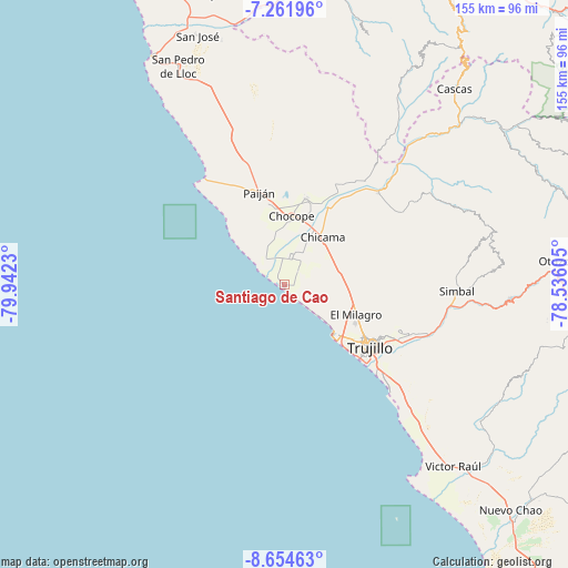
Santiago de Cao GPS coordinates[2]
7° 57' 32.004" South, 79° 14' 21.012" West
| Map corner | latitude | longitude |
|---|---|---|
| Upper-left | -7.26196°, | -79.9423° |
| Center: | -7.95889°, | -79.23917° |
| Lower-right: | -8.65463°, | -78.53605° |
| Map W x H: | 154.9×154.9 km | = 96.3×96.3mi |
| max Lat: | -0.96667° ⇑25.6% North |
| Santiago de Cao: | -7.95889° |
| min Lat: | ⇓74.4% South -18.01465° |
| min Long | Santiago de Cao | max Long |
| -81.30472° | -79.23917° | -69.04167° |
| W 8.3%⇐ | ⇒91.7% E |
Elevation
Elevation of Santiago de Cao is 18 m = 59 ft, and this is 2300.7 m = 7548 ft below average elevation for this country.
| Max E: |
5022 m = 16476 ft | 96.8% |
| Avg. | 2318.7 m = 7607 ft | |
| Santiago de Cao | 18 m = 59 ft | |
Min E: |
1 m = 3 ft | 3.2% |
See also: Peru elevation on elevation.city.
Geographical zone
Santiago de Cao is located in South Torrid zone (between Equator and Tropic of Capricorn). Distance of Equator is 884.9 km =549.9 mi to North.| Distance of | km | miles | from Santiago de Cao |
|---|---|---|---|
| Equator | 884.9 | 549.9 | to North |
| Tropic Capricorn | 1721 | 1069.4 | to South |
| Antarctic Circle | 6516.2 | 4049 | to South |
| South Pole | 9122.1 | 5668.2 | to South |


Nearby cities:
15 places around Santiago de Cao: (largest is in red/bold)
• Ascope
30.8 km =19.1 mi,  28°
28°
• Buenos Aires
29.6 km =18.4 mi,  132°
132°
• Casa Grande
24.6 km =15.3 mi,  13°
13°
• Chicama
16.3 km =10.1 mi,  38°
38°
• Chocope
18.7 km =11.6 mi, 5°
• El Porvenir
29.7 km =18.5 mi,  117°
117°
• Huanchaco
19.3 km =12 mi,  135°
135°
• La Esperanza
25.2 km =15.7 mi, 121°
• Laredo
34 km =21.1 mi, 115°
• Moche
34.6 km =21.5 mi, 132°
• Paiján
26 km =16.2 mi,  344°
344°
• Poroto
52.2 km =32.4 mi,  96°
96°
• Salaverry
41 km =25.5 mi, 135°
• Simbal
46.9 km =29.1 mi,  92°
92°
• Trujillo
28.9 km =18 mi, 127°
Sources, notices
• [Note1] Compared only with cities in Peru existing in our database
• [Src1] Map data: © OpenStreetMap contributors (CC-BY-SA)
• [Src2] Other city data from geonames.org with taken over terms of usage.
• [Src3] Geographical zone / Annual Mean Temperature by Robert A. Rohde @ Wikipedia
