Caballococha geodata
Caballococha (Loreto) is a seat of a third-order administrative division; located in Peru in America/Lima (GMT-5) time zone. In our database, there are 305 cities with bigger population. Compared to other cities in Peru, 98.8% of cities are located further ↓South; 92.5% of cities are located further ←West and 91.2% of cities have higher elevation than Caballococha. Note1
Administrative division(s):
- Level 1: Loreto
- Level 2: Mariscal Ramon Castilla
- Level 3: Ramon Castilla


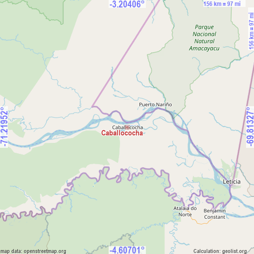
Caballococha GPS coordinates[2]
3° 54' 20.988" South, 70° 30' 59.004" West
| Map corner | latitude | longitude |
|---|---|---|
| Upper-left | -3.20406°, | -71.21952° |
| Center: | -3.90583°, | -70.51639° |
| Lower-right: | -4.60701°, | -69.81327° |
| Map W x H: | 156×156 km | = 96.9×96.9mi |
| max Lat: | -0.96667° ⇑1.2% North |
| Caballococha: | -3.90583° |
| min Lat: | ⇓98.8% South -18.01465° |
| min Long | Caballococha | max Long |
| -81.30472° | -70.51639° | -69.04167° |
| W 92.5%⇐ | ⇒7.5% E |
Elevation
Elevation of Caballococha is 75 m = 246 ft, and this is 2243.7 m = 7361 ft below average elevation for this country.
| Max E: |
5022 m = 16476 ft | 91.2% |
| Avg. | 2318.7 m = 7607 ft | |
| Caballococha | 75 m = 246 ft | |
Min E: |
1 m = 3 ft | 8.8% |
See also: Peru elevation on elevation.city.
Geographical zone
Caballococha is located in South Torrid zone (between Equator and Tropic of Capricorn). Distance of Equator is 434.3 km =269.9 mi to North.| Distance of | km | miles | from Caballococha |
|---|---|---|---|
| Equator | 434.3 | 269.9 | to North |
| Tropic Capricorn | 2171.6 | 1349.4 | to South |
| Antarctic Circle | 6966.9 | 4329 | to South |
| South Pole | 9572.8 | 5948.3 | to South |


Nearby cities:
11 places around Caballococha: (largest is in red/bold)
• Genaro Herrera
366.7 km =227.9 mi,  252°
252°
• Indiana
284.9 km =177 mi,  279°
279°
• Iquitos
304.2 km =189 mi,  273°
273°
• Nauta
343.5 km =213.4 mi,  258°
258°
• Parinari
440.5 km =273.7 mi, 260°
• Pebas
161.8 km =100.5 mi,  293°
293°
• Ramón Castilla
73.5 km =45.7 mi,  122°
122°
• Requena
391.2 km =243.1 mi, 250°
• San Antonio del Estrecho
288.6 km =179.3 mi,  304°
304°
• San Juan
338.4 km =210.3 mi, 270°
• Saquena
343.3 km =213.3 mi, 255°
Sources, notices
• [Note1] Compared only with cities in Peru existing in our database
• [Src1] Map data: © OpenStreetMap contributors (CC-BY-SA)
• [Src2] Other city data from geonames.org with taken over terms of usage.
• [Src3] Geographical zone / Annual Mean Temperature by Robert A. Rohde @ Wikipedia
