Santiago geodata
Santiago (Ica) is a populated place; located in Peru in America/Lima (GMT-5) time zone. With population of 10,449 people, there are 140 cities with bigger population in this country. Compared to other cities in Peru, 78.1% of cities are located further ↑North; 50.2% of cities are located further ←West and 79.6% of cities have higher elevation than Santiago. Note1


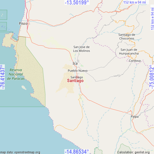
Santiago GPS coordinates[2]
14° 11' 4.884" South, 75° 42' 40.464" West
| Map corner | latitude | longitude |
|---|---|---|
| Upper-left | -13.50199°, | -76.41437° |
| Center: | -14.18469°, | -75.71124° |
| Lower-right: | -14.86534°, | -75.00812° |
| Map W x H: | 151.6×151.6 km | = 94.2×94.2mi |
| max Lat: | -0.96667° ⇑78.1% North |
| Santiago: | -14.18469° |
| min Lat: | ⇓21.9% South -18.01465° |
| min Long | Santiago | max Long |
| -81.30472° | -75.71124° | -69.04167° |
| W 50.2%⇐ | ⇒49.8% E |
Elevation
Elevation of Santiago is 379 m = 1243 ft, and this is 1939.7 m = 6364 ft below average elevation for this country.
| Max E: |
5022 m = 16476 ft | 79.6% |
| Avg. | 2318.7 m = 7607 ft | |
| Santiago | 379 m = 1243 ft | |
Min E: |
1 m = 3 ft | 20.4% |
See also: Peru elevation on elevation.city.
Geographical zone
Santiago is located in South Torrid zone (between Equator and Tropic of Capricorn). Distance of this Southern Tropic circle is 1028.7 km =639.2 mi to South.| Distance of | km | miles | from Santiago |
|---|---|---|---|
| Equator | 1577.2 | 980 | to North |
| Tropic Capricorn | 1028.7 | 639.2 | to South |
| Antarctic Circle | 5824 | 3618.9 | to South |
| South Pole | 8429.9 | 5238.1 | to South |


Nearby cities:
15 places around Santiago: (largest is in red/bold)
• Guadalupe
25 km =15.5 mi,  346°
346°
• Huancano
65.8 km =40.9 mi,  8°
8°
• Humay
55.9 km =34.7 mi,  338°
338°
• Ica
13.1 km =8.1 mi, 351°
• Independencia
64.1 km =39.8 mi,  327°
327°
• La Tinguiña
16.6 km =10.3 mi,  4°
4°
• Los Aquijes
10 km =6.2 mi, 12°
• Ocucaje
18.8 km =11.7 mi,  166°
166°
• Palpa
68.6 km =42.6 mi,  124°
124°
• Pueblo Nuevo
6.3 km =3.9 mi, 4°
• Rosario de Yauca
15.8 km =9.8 mi,  69°
69°
• Río Grande
66.3 km =41.2 mi, 123°
• San Juan Bautista
19.5 km =12.1 mi, 352°
• Subtanjalla
19.1 km =11.9 mi, 344°
• Tibillo
59 km =36.7 mi,  80°
80°
Sources, notices
• [Note1] Compared only with cities in Peru existing in our database
• [Src1] Map data: © OpenStreetMap contributors (CC-BY-SA)
• [Src2] Other city data from geonames.org with taken over terms of usage.
• [Src3] Geographical zone / Annual Mean Temperature by Robert A. Rohde @ Wikipedia
