Palca geodata
Palca (Junin) is a seat of a third-order administrative division; located in Peru in America/Lima (GMT-5) time zone. In our database, there are 305 cities with bigger population. Compared to other cities in Peru, 53.5% of cities are located further ↓South; 51.6% of cities are located further ←West and 53.5% of cities have higher elevation than Palca. Note1


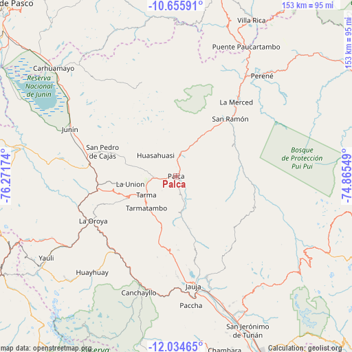
Palca GPS coordinates[2]
11° 20' 45.996" South, 75° 34' 6.996" West
| Map corner | latitude | longitude |
|---|---|---|
| Upper-left | -10.65591°, | -76.27174° |
| Center: | -11.34611°, | -75.56861° |
| Lower-right: | -12.03465°, | -74.86549° |
| Map W x H: | 153.3×153.3 km | = 95.3×95.3mi |
| max Lat: | -0.96667° ⇑46.5% North |
| Palca: | -11.34611° |
| min Lat: | ⇓53.5% South -18.01465° |
| min Long | Palca | max Long |
| -81.30472° | -75.56861° | -69.04167° |
| W 51.6%⇐ | ⇒48.4% E |
Elevation
Elevation of Palca is 2738 m = 8983 ft, and this is 419.3 m = 1376 ft above average elevation for this country.
| Max E: |
5022 m = 16476 ft | 53.5% |
| Palca | 2738 m 8983 ft | |
| Avg. | 2318.7 m = 7607 ft | |
Min E: |
1 m = 3 ft | 46.5% |
See also: Peru elevation on elevation.city.
Geographical zone
Palca is located in South Torrid zone (between Equator and Tropic of Capricorn). Distance of Equator is 1261.6 km =783.9 mi to North.| Distance of | km | miles | from Palca |
|---|---|---|---|
| Equator | 1261.6 | 783.9 | to North |
| Tropic Capricorn | 1344.3 | 835.3 | to South |
| Antarctic Circle | 6139.6 | 3815 | to South |
| South Pole | 8745.5 | 5434.2 | to South |


Nearby cities:
15 places around Palca: (largest is in red/bold)
• Acobamba
10.2 km =6.3 mi,  266°
266°
• Acolla
43 km =26.7 mi,  176°
176°
• Concho
42.1 km =26.2 mi, 180°
• Huasahuasi
12.4 km =7.7 mi,  316°
316°
• La Merced
40.6 km =25.2 mi,  38°
38°
• La Oroya
40.8 km =25.4 mi,  241°
241°
• Leticia
20.5 km =12.7 mi,  259°
259°
• Marco
43.9 km =27.3 mi, 179°
• Paca
41.5 km =25.8 mi,  172°
172°
• Palcamayo
23.1 km =14.4 mi,  284°
284°
• San Pedro de Cajas
33.6 km =20.9 mi,  288°
288°
• San Ramón
33.8 km =21 mi, 43°
• Tapo
5 km =3.1 mi, 173°
• Tarma
15.5 km =9.6 mi, 238°
• Yauli
42.1 km =26.2 mi, 165°
Sources, notices
• [Note1] Compared only with cities in Peru existing in our database
• [Src1] Map data: © OpenStreetMap contributors (CC-BY-SA)
• [Src2] Other city data from geonames.org with taken over terms of usage.
• [Src3] Geographical zone / Annual Mean Temperature by Robert A. Rohde @ Wikipedia
