Longar geodata
Longar (Amazonas) is a seat of a third-order administrative division; located in Peru in America/Lima (GMT-5) time zone. In our database, there are 305 cities with bigger population. Compared to other cities in Peru, 86.5% of cities are located further ↓South; 73.4% of cities are located further →East and 69% of cities have higher elevation than Longar. Note1
Administrative division(s):
- Level 1: Amazonas
- Level 2: Provincia de Rodríguez de Mendoza
- Level 3: Longar


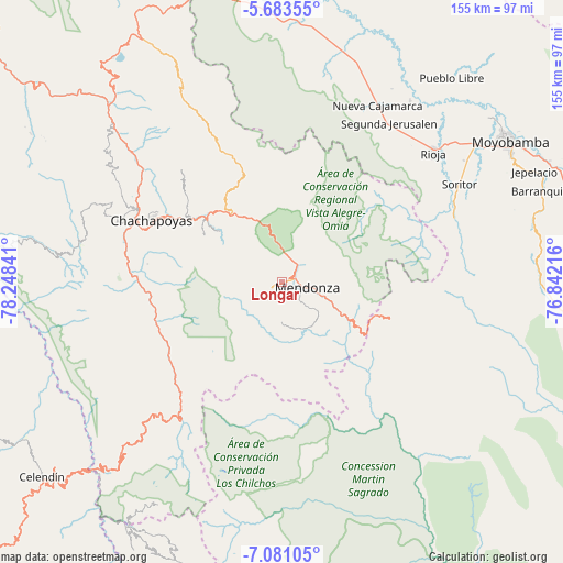
Longar GPS coordinates[2]
6° 22' 58.008" South, 77° 32' 43.008" West
| Map corner | latitude | longitude |
|---|---|---|
| Upper-left | -5.68355°, | -78.24841° |
| Center: | -6.38278°, | -77.54528° |
| Lower-right: | -7.08105°, | -76.84216° |
| Map W x H: | 155.4×155.4 km | = 96.6×96.6mi |
| max Lat: | -0.96667° ⇑13.5% North |
| Longar: | -6.38278° |
| min Lat: | ⇓86.5% South -18.01465° |
| min Long | Longar | max Long |
| -81.30472° | -77.54528° | -69.04167° |
| W 26.6%⇐ | ⇒73.4% E |
Elevation
Elevation of Longar is 1596 m = 5236 ft, and this is 722.7 m = 2371 ft below average elevation for this country.
| Max E: |
5022 m = 16476 ft | 69% |
| Avg. | 2318.7 m = 7607 ft | |
| Longar | 1596 m = 5236 ft | |
Min E: |
1 m = 3 ft | 31% |
See also: Peru elevation on elevation.city.
Geographical zone
Longar is located in South Torrid zone (between Equator and Tropic of Capricorn). Distance of Equator is 709.7 km =441 mi to North.| Distance of | km | miles | from Longar |
|---|---|---|---|
| Equator | 709.7 | 441 | to North |
| Tropic Capricorn | 1896.2 | 1178.2 | to South |
| Antarctic Circle | 6691.5 | 4157.9 | to South |
| South Pole | 9297.4 | 5777.1 | to South |


Nearby cities:
15 places around Longar: (largest is in red/bold)
• Cheto
22.2 km =13.8 mi,  309°
309°
• Cochamal
5 km =3.1 mi,  238°
238°
• Daguas
27.7 km =17.2 mi, 308°
• Duraznopampa
37.3 km =23.2 mi,  231°
231°
• Granada
32.8 km =20.4 mi,  344°
344°
• Huambo
5.1 km =3.2 mi,  168°
168°
• La Jalca
32 km =19.9 mi,  248°
248°
• Maino
37.3 km =23.2 mi,  277°
277°
• Mendoza
7.1 km =4.4 mi,  100°
100°
• Milpuc
17.3 km =10.7 mi,  135°
135°
• Omia
19.2 km =11.9 mi,  119°
119°
• Quinjalca
35.5 km =22.1 mi, 335°
• Soloco
25.8 km =16 mi,  301°
301°
• Totora
14.6 km =9.1 mi,  146°
146°
• Vista Alegre
37.3 km =23.2 mi,  46°
46°
Sources, notices
• [Note1] Compared only with cities in Peru existing in our database
• [Src1] Map data: © OpenStreetMap contributors (CC-BY-SA)
• [Src2] Other city data from geonames.org with taken over terms of usage.
• [Src3] Geographical zone / Annual Mean Temperature by Robert A. Rohde @ Wikipedia
