Tanolong geodata
Tanolong (Ilocos) is a populated place; located in Philippines in Asia/Manila (GMT+8) time zone. With population of 2,779 people, there are 2821 cities with bigger population in this country. Compared to other cities in Philippines, 84.8% of cities are located further ↓South; 93.3% of cities are located further →East and 59.2% of cities have higher elevation than Tanolong. Note1


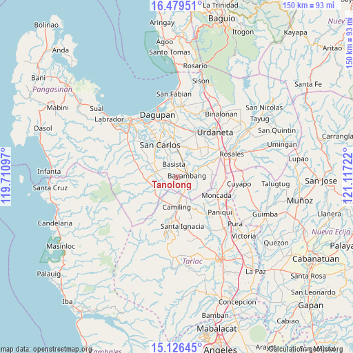
Tanolong GPS coordinates[2]
15° 48' 14.796" North, 120° 24' 50.724" East
| Map corner | latitude | longitude |
|---|---|---|
| Upper-left | 16.47951°, | 119.71097° |
| Center: | 15.80411°, | 120.41409° |
| Lower-right: | 15.12645°, | 121.11722° |
| Map W x H: | 150.4×150.4 km | = 93.5×93.5mi |
| max Lat: | 20.78733° ⇑15.2% North |
| Tanolong: | 15.80411° |
| min Lat: | ⇓84.8% South 4.65442° |
| min Long | Tanolong | max Long |
| 117.04868° | 120.41409° | 126.58417° |
| W 6.7%⇐ | ⇒93.3% E |
Elevation
Elevation of Tanolong is 17 m = 56 ft, and this is 70.9 m = 233 ft below average elevation for this country.
| Max E: |
2262 m = 7421 ft | 59.2% |
| Avg. | 87.9 m = 288 ft | |
| Tanolong | 17 m = 56 ft | |
Min E: |
-2 m = -7 ft | 40.8% |
See also: Philippines elevation on elevation.city.
Geographical zone
Tanolong is located in North Torrid zone (between Equator and Tropic of Cancer). Distance of this Northern Tropic circle is 848.7 km =527.4 mi to North.| Distance of | km | miles | from Tanolong |
|---|---|---|---|
| North Pole | 8249.8 | 5126.2 | to North |
| Arctic Circle | 5643.9 | 3507 | to North |
| Tropic Cancer | 848.7 | 527.4 | to North |
| Equator | 1757.3 | 1091.9 | to South |


Nearby cities:
15 places around Tanolong: (largest is in red/bold)
• Anambongan
7.4 km =4.6 mi,  338°
338°
• Angatel
7.6 km =4.7 mi,  271°
271°
• Anulid
8.3 km =5.2 mi,  73°
73°
• Bacabac
8.9 km =5.5 mi,  170°
170°
• Baluyot
5.1 km =3.2 mi,  100°
100°
• Basista
5.7 km =3.5 mi, 341°
• Bayambang
4.6 km =2.9 mi,  77°
77°
• Bical Norte
2.5 km =1.6 mi,  62°
62°
• Bilad
7.8 km =4.8 mi,  164°
164°
• Nalsian Norte
6 km =3.7 mi,  41°
41°
• Navatat
5.7 km =3.5 mi,  333°
333°
• Pasibi West
7.1 km =4.4 mi, 328°
• Real
7.4 km =4.6 mi, 274°
• San Gabriel First
6.2 km =3.9 mi,  132°
132°
• Tococ East
2.6 km =1.6 mi,  28°
28°
Sources, notices
• [Note1] Compared only with cities in Philippines existing in our database
• [Src1] Map data: © OpenStreetMap contributors (CC-BY-SA)
• [Src2] Other city data from geonames.org with taken over terms of usage.
• [Src3] Geographical zone / Annual Mean Temperature by Robert A. Rohde @ Wikipedia
