San Manuel geodata
San Manuel (Central Luzon) is a seat of a third-order administrative division; located in Philippines in Asia/Manila (GMT+8) time zone. In our database, there are 4166 cities with bigger population. Compared to other cities in Philippines, 84.8% of cities are located further ↓South; 87.8% of cities are located further →East and 54.4% of cities have lower elevation than San Manuel. Note1


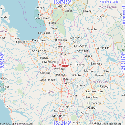
San Manuel GPS coordinates[2]
15° 47' 57.012" North, 120° 36' 30.996" East
| Map corner | latitude | longitude |
|---|---|---|
| Upper-left | 16.47459°, | 119.90549° |
| Center: | 15.79917°, | 120.60861° |
| Lower-right: | 15.12149°, | 121.31174° |
| Map W x H: | 150.5×150.5 km | = 93.5×93.5mi |
| max Lat: | 20.78733° ⇑15.2% North |
| San Manuel: | 15.79917° |
| min Lat: | ⇓84.8% South 4.65442° |
| min Long | San Manuel | max Long |
| 117.04868° | 120.60861° | 126.58417° |
| W 12.2%⇐ | ⇒87.8% E |
Elevation
Elevation of San Manuel is 27 m = 89 ft, and this is 60.9 m = 200 ft below average elevation for this country.
| Max E: |
2262 m = 7421 ft | 45.6% |
| Avg. | 87.9 m = 288 ft | |
| San Manuel | 27 m = 89 ft | |
Min E: |
-2 m = -7 ft | 54.4% |
See also: Philippines elevation on elevation.city.
Geographical zone
San Manuel is located in North Torrid zone (between Equator and Tropic of Cancer). Distance of this Northern Tropic circle is 849.2 km =527.7 mi to North.| Distance of | km | miles | from San Manuel |
|---|---|---|---|
| North Pole | 8250.4 | 5126.6 | to North |
| Arctic Circle | 5644.5 | 3507.3 | to North |
| Tropic Cancer | 849.2 | 527.7 | to North |
| Equator | 1756.7 | 1091.6 | to South |


Nearby cities:
15 places around San Manuel: (largest is in red/bold)
• Anao
8 km =5 mi,  167°
167°
• Bued
6.1 km =3.8 mi,  46°
46°
• Burgos
8.7 km =5.4 mi,  206°
206°
• Calancuasan Norte
3.5 km =2.2 mi,  85°
85°
• Carmen
9.7 km =6 mi,  354°
354°
• Cuyapo
6.3 km =3.9 mi,  107°
107°
• Guiling
4.9 km =3 mi,  8°
8°
• Lanat
0.9 km =0.6 mi, 207°
• Moncada
8 km =5 mi, 207°
• Nampicuan
7.7 km =4.8 mi, 166°
• Pindangan Centro
9.2 km =5.7 mi,  318°
318°
• Salcedo
6.5 km =4 mi, 351°
• San Felipe
3.2 km =2 mi,  338°
338°
• San Pedro Apartado
6.3 km =3.9 mi,  312°
312°
• Villanueva
6.6 km =4.1 mi,  269°
269°
Sources, notices
• [Note1] Compared only with cities in Philippines existing in our database
• [Src1] Map data: © OpenStreetMap contributors (CC-BY-SA)
• [Src2] Other city data from geonames.org with taken over terms of usage.
• [Src3] Geographical zone / Annual Mean Temperature by Robert A. Rohde @ Wikipedia
