Calancuasan Norte geodata
Calancuasan Norte (Central Luzon) is a populated place; located in Philippines in Asia/Manila (GMT+8) time zone. With population of 2,453 people, there are 3378 cities with bigger population in this country. Compared to other cities in Philippines, 84.8% of cities are located further ↓South; 86.8% of cities are located further →East and 52.3% of cities have lower elevation than Calancuasan Norte. Note1


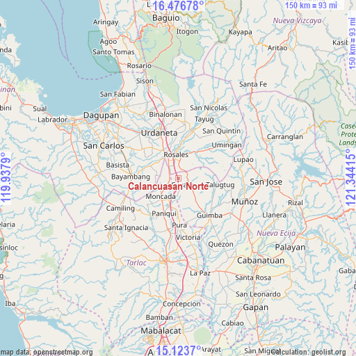
Calancuasan Norte GPS coordinates[2]
15° 48' 4.932" North, 120° 38' 27.672" East
| Map corner | latitude | longitude |
|---|---|---|
| Upper-left | 16.47678°, | 119.9379° |
| Center: | 15.80137°, | 120.64102° |
| Lower-right: | 15.1237°, | 121.34415° |
| Map W x H: | 150.4×150.5 km | = 93.5×93.5mi |
| max Lat: | 20.78733° ⇑15.2% North |
| Calancuasan Norte: | 15.80137° |
| min Lat: | ⇓84.8% South 4.65442° |
| min Long | Calancuasan Nor | max Long |
| 117.04868° | 120.64102° | 126.58417° |
| W 13.2%⇐ | ⇒86.8% E |
Elevation
Elevation of Calancuasan Norte is 25 m = 82 ft, and this is 62.9 m = 206 ft below average elevation for this country.
| Max E: |
2262 m = 7421 ft | 47.7% |
| Avg. | 87.9 m = 288 ft | |
| Calancuasan Norte | 25 m = 82 ft | |
Min E: |
-2 m = -7 ft | 52.3% |
See also: Philippines elevation on elevation.city.
Geographical zone
Calancuasan Norte is located in North Torrid zone (between Equator and Tropic of Cancer). Distance of this Northern Tropic circle is 849 km =527.5 mi to North.| Distance of | km | miles | from Calancuasan Norte |
|---|---|---|---|
| North Pole | 8250.1 | 5126.4 | to North |
| Arctic Circle | 5644.2 | 3507.1 | to North |
| Tropic Cancer | 849 | 527.5 | to North |
| Equator | 1756.9 | 1091.7 | to South |


Nearby cities:
15 places around Calancuasan Norte: (largest is in red/bold)
• Anao
8.2 km =5.1 mi,  191°
191°
• Bued
4 km =2.5 mi,  13°
13°
• Carmen
10.4 km =6.5 mi,  335°
335°
• Cuyapo
3.3 km =2.1 mi,  130°
130°
• Esmeralda
10.8 km =6.7 mi,  47°
47°
• Guiling
5.4 km =3.4 mi,  329°
329°
• Lanat
4 km =2.5 mi,  254°
254°
• Moncada
10.3 km =6.4 mi,  224°
224°
• Nampicuan
8 km =5 mi, 192°
• Rosales
10.4 km =6.5 mi,  355°
355°
• Salcedo
7.6 km =4.7 mi,  324°
324°
• San Felipe
5.4 km =3.4 mi,  300°
300°
• San Manuel
3.5 km =2.2 mi,  265°
265°
• San Pedro Apartado
9 km =5.6 mi, 296°
• Villanueva
10.1 km =6.3 mi, 268°
Sources, notices
• [Note1] Compared only with cities in Philippines existing in our database
• [Src1] Map data: © OpenStreetMap contributors (CC-BY-SA)
• [Src2] Other city data from geonames.org with taken over terms of usage.
• [Src3] Geographical zone / Annual Mean Temperature by Robert A. Rohde @ Wikipedia
