Balbalan geodata
Balbalan (Cordillera) is a seat of a third-order administrative division; located in Philippines in Asia/Manila (GMT+8) time zone. With population of 2,195 people, there are 3897 cities with bigger population in this country. Compared to other cities in Philippines, 95.8% of cities are located further ↓South; 71.6% of cities are located further →East and 99% of cities have lower elevation than Balbalan. Note1


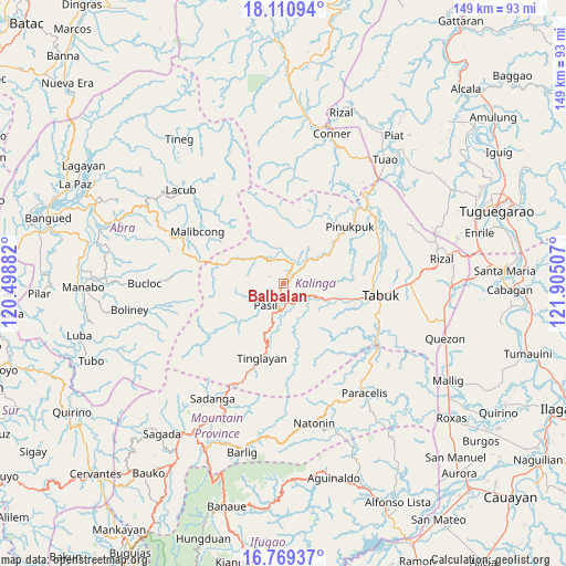
Balbalan GPS coordinates[2]
17° 26' 29.004" North, 121° 12' 6.984" East
| Map corner | latitude | longitude |
|---|---|---|
| Upper-left | 18.11094°, | 120.49882° |
| Center: | 17.44139°, | 121.20194° |
| Lower-right: | 16.76937°, | 121.90507° |
| Map W x H: | 149.2×149.2 km | = 92.7×92.7mi |
| max Lat: | 20.78733° ⇑4.2% North |
| Balbalan: | 17.44139° |
| min Lat: | ⇓95.8% South 4.65442° |
| min Long | Balbalan | max Long |
| 117.04868° | 121.20194° | 126.58417° |
| W 28.4%⇐ | ⇒71.6% E |
Elevation
Elevation of Balbalan is 986 m = 3235 ft, and this is 898.1 m = 2947 ft above average elevation for this country.
| Max E: |
2262 m = 7421 ft | 1% |
| Balbalan | 986 m 3235 ft | |
| Avg. | 87.9 m = 288 ft | |
Min E: |
-2 m = -7 ft | 99% |
See also: Philippines elevation on elevation.city.
Geographical zone
Balbalan is located in North Torrid zone (between Equator and Tropic of Cancer). Distance of this Northern Tropic circle is 666.6 km =414.2 mi to North.| Distance of | km | miles | from Balbalan |
|---|---|---|---|
| North Pole | 8067.8 | 5013.1 | to North |
| Arctic Circle | 5461.9 | 3393.9 | to North |
| Tropic Cancer | 666.6 | 414.2 | to North |
| Equator | 1939.3 | 1205 | to South |


Nearby cities:
15 places around Balbalan: (largest is in red/bold)
• Agbannawag
37.4 km =23.2 mi,  101°
101°
• Bucloc
36.4 km =22.6 mi,  269°
269°
• Daguioman
30.5 km =19 mi, 271°
• Laya
28.4 km =17.6 mi,  82°
82°
• Licuan
36.5 km =22.7 mi,  300°
300°
• Lubuagan
10.1 km =6.3 mi,  196°
196°
• Natonin
37.8 km =23.5 mi,  167°
167°
• Paracelis
34.2 km =21.3 mi,  124°
124°
• Pasil
9.7 km =6 mi,  228°
228°
• Pinukpuk
28.6 km =17.8 mi,  47°
47°
• Sadanga
36.4 km =22.6 mi,  212°
212°
• Tabuk
8.9 km =5.5 mi,  114°
114°
• Tabuk
28.4 km =17.6 mi, 82°
• Tanudan
16.7 km =10.4 mi, 166°
• Tinglayan
18.8 km =11.7 mi,  192°
192°
Sources, notices
• [Note1] Compared only with cities in Philippines existing in our database
• [Src1] Map data: © OpenStreetMap contributors (CC-BY-SA)
• [Src2] Other city data from geonames.org with taken over terms of usage.
• [Src3] Geographical zone / Annual Mean Temperature by Robert A. Rohde @ Wikipedia
