Palanas geodata
Palanas (Bicol) is a seat of a third-order administrative division; located in Philippines in Asia/Manila (GMT+8) time zone. With population of 2,690 people, there are 2961 cities with bigger population in this country. Compared to other cities in Philippines, 52.4% of cities are located further ↓South; 69.6% of cities are located further ←West and 80.7% of cities have higher elevation than Palanas. Note1


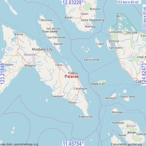
Palanas GPS coordinates[2]
12° 8' 44.88" North, 123° 55' 17.76" East
| Map corner | latitude | longitude |
|---|---|---|
| Upper-left | 12.83228°, | 123.21848° |
| Center: | 12.1458°, | 123.9216° |
| Lower-right: | 11.45754°, | 124.62473° |
| Map W x H: | 152.9×152.9 km | = 95×95mi |
| max Lat: | 20.78733° ⇑47.6% North |
| Palanas: | 12.1458° |
| min Lat: | ⇓52.4% South 4.65442° |
| min Long | Palanas | max Long |
| 117.04868° | 123.9216° | 126.58417° |
| W 69.6%⇐ | ⇒30.4% E |
Elevation
Elevation of Palanas is 9 m = 30 ft, and this is 78.9 m = 259 ft below average elevation for this country.
| Max E: |
2262 m = 7421 ft | 80.7% |
| Avg. | 87.9 m = 288 ft | |
| Palanas | 9 m = 30 ft | |
Min E: |
-2 m = -7 ft | 19.3% |
See also: Philippines elevation on elevation.city.
Geographical zone
Palanas is located in North Torrid zone (between Equator and Tropic of Cancer). Distance of this Northern Tropic circle is 1255.4 km =780.1 mi to North.| Distance of | km | miles | from Palanas |
|---|---|---|---|
| North Pole | 8656.6 | 5379 | to North |
| Arctic Circle | 6050.7 | 3759.7 | to North |
| Tropic Cancer | 1255.4 | 780.1 | to North |
| Equator | 1350.5 | 839.2 | to South |


Nearby cities:
15 places around Palanas: (largest is in red/bold)
• Armenia
22.7 km =14.1 mi,  301°
301°
• Balucawi
10.6 km =6.6 mi,  305°
305°
• Buenavista
14.6 km =9.1 mi,  283°
283°
• Cataingan
17.6 km =10.9 mi,  154°
154°
• Dapdap
18.6 km =11.6 mi,  294°
294°
• Dimasalang
8.5 km =5.3 mi, 307°
• Marintoc
26.6 km =16.5 mi, 305°
• Miaga
15.3 km =9.5 mi, 311°
• Nabangig
6.1 km =3.8 mi, 149°
• Pawican
9.6 km =6 mi, 146°
• Peña
6.6 km =4.1 mi,  163°
163°
• San Pedro
16.7 km =10.4 mi, 149°
• San Vicente
23.9 km =14.9 mi,  54°
54°
• Tagapul-an
27 km =16.8 mi,  113°
113°
• Uson
17.4 km =10.8 mi, 300°
Sources, notices
• [Note1] Compared only with cities in Philippines existing in our database
• [Src1] Map data: © OpenStreetMap contributors (CC-BY-SA)
• [Src2] Other city data from geonames.org with taken over terms of usage.
• [Src3] Geographical zone / Annual Mean Temperature by Robert A. Rohde @ Wikipedia
