Pawican geodata
Pawican (Bicol) is a populated place; located in Philippines in Asia/Manila (GMT+8) time zone. With population of 3,158 people, there are 2346 cities with bigger population in this country. Compared to other cities in Philippines, 52.2% of cities are located further ↓South; 70.4% of cities are located further ←West and 79.7% of cities have lower elevation than Pawican. Note1


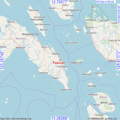
Pawican GPS coordinates[2]
12° 4' 26.76" North, 123° 58' 14.16" East
| Map corner | latitude | longitude |
|---|---|---|
| Upper-left | 12.76077°, | 123.26748° |
| Center: | 12.0741°, | 123.9706° |
| Lower-right: | 11.38566°, | 124.67373° |
| Map W x H: | 152.9×152.9 km | = 95×95mi |
| max Lat: | 20.78733° ⇑47.8% North |
| Pawican: | 12.0741° |
| min Lat: | ⇓52.2% South 4.65442° |
| min Long | Pawican | max Long |
| 117.04868° | 123.9706° | 126.58417° |
| W 70.4%⇐ | ⇒29.6% E |
Elevation
Elevation of Pawican is 90 m = 295 ft, and this is 2.1 m = 7 ft above average elevation for this country.
| Max E: |
2262 m = 7421 ft | 20.3% |
| Pawican | 90 m 295 ft | |
| Avg. | 87.9 m = 288 ft | |
Min E: |
-2 m = -7 ft | 79.7% |
See also: Philippines elevation on elevation.city.
Geographical zone
Pawican is located in North Torrid zone (between Equator and Tropic of Cancer). Distance of this Northern Tropic circle is 1263.4 km =785 mi to North.| Distance of | km | miles | from Pawican |
|---|---|---|---|
| North Pole | 8664.5 | 5383.9 | to North |
| Arctic Circle | 6058.7 | 3764.7 | to North |
| Tropic Cancer | 1263.4 | 785 | to North |
| Equator | 1342.5 | 834.2 | to South |


Nearby cities:
15 places around Pawican: (largest is in red/bold)
• Balucawi
19.8 km =12.3 mi,  315°
315°
• Buenavista
22.6 km =14 mi,  300°
300°
• Cataingan
8.2 km =5.1 mi,  163°
163°
• Dapdap
27.2 km =16.9 mi,  305°
305°
• Dimasalang
17.9 km =11.1 mi, 317°
• Limbuhan
22.9 km =14.2 mi, 157°
• Miaga
24.7 km =15.3 mi, 317°
• Nabangig
3.5 km =2.2 mi, 321°
• Palanas
9.6 km =6 mi,  326°
326°
• Peña
3.9 km =2.4 mi, 295°
• Placer
23.5 km =14.6 mi,  193°
193°
• San Pedro
7.1 km =4.4 mi,  153°
153°
• San Vicente
26 km =16.2 mi,  32°
32°
• Tagapul-an
19.7 km =12.2 mi,  97°
97°
• Uson
26.4 km =16.4 mi, 309°
Sources, notices
• [Note1] Compared only with cities in Philippines existing in our database
• [Src1] Map data: © OpenStreetMap contributors (CC-BY-SA)
• [Src2] Other city data from geonames.org with taken over terms of usage.
• [Src3] Geographical zone / Annual Mean Temperature by Robert A. Rohde @ Wikipedia
